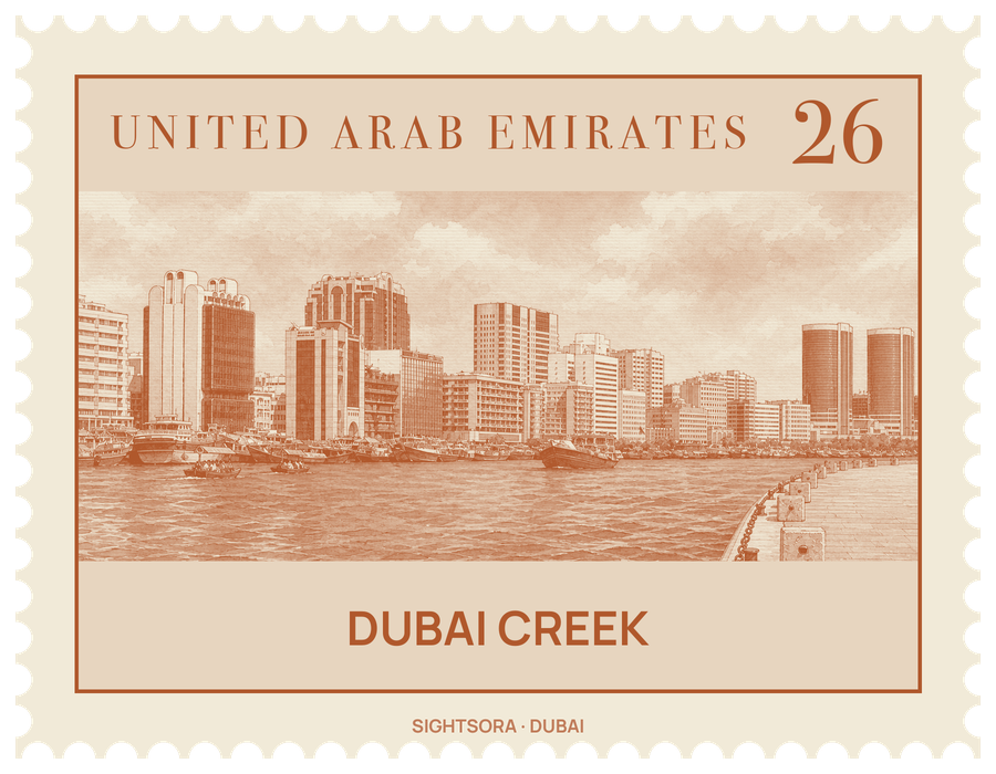
Its width varies from 200 to 1,200 metres, and for a long time it was the only harbour the city had. It enters the mainland between Deira Corniche and Al Ras on the eastern side and Al Shindagha on the western side, then bends south-east past Port Saeed and Dubai Creek Park towards its natural end at the Ras Al Khor Wildlife Sanctuary.
The creek is where the city began. In the 19th century members of the Bani Yas tribe settled along its Bur Dubai side, and the Al Maktoum dynasty was established there. Pearling expeditions, the mainstay of the economy until cultured pearls arrived in the 1930s, were based on it, fishing boats worked its waters, and dhows were built on its shore; in the early 20th century dhows sailed in from as far as India and East Africa. A plan of 1955 set out to dredge it, build breakwaters and turn its beach into a cargo quay; the first dredging came in 1961, and further rounds in the 1960s and 1970s opened it to steady trade and re-export. The first bridge between Bur Dubai and Deira, Al Maktoum Bridge, followed in 1963.
Four bridges and a tunnel link the two sides, but the old way across is still in use: abras, the boats that serve as water taxis between the banks. Smaller trading facilities such as Port Saeed still serve merchants from the region and the subcontinent, and in the Al Jaddaf area dhows are still built on the bank. Along the Deira side stand the Deira Twin Towers, the Sheraton Dubai Creek and the Chamber of Commerce, while beyond Al Maktoum Bridge are Dubai Creek Park and the Dubai Creek Golf & Yacht Club with its 18-hole course. The waterway no longer stops at Ras Al Khor: a 13 km extension through Business Bay and the Dubai Water Canal, inaugurated on 9 November 2016, carries it through Jumeirah to the sea.
Getting there
The Green Line of the Dubai Metro ends at Dubai Creek metro station. Close by, Al Jaddaf Marine Station runs ferries on the creek, including a crossing to the Dubai Festival City Mall. Abras carry passengers between the eastern and western banks.