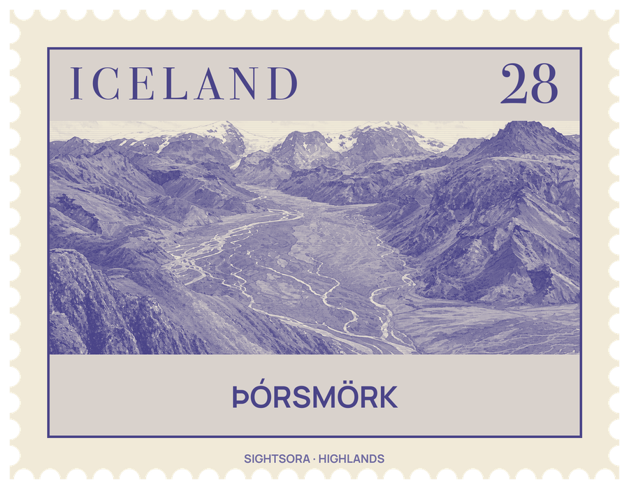
Strictly the name covers only the ridge enclosed by the rivers Krossá, Þröngá and Markarfljót, though people often use it for the wider area reaching to Eyjafjallajökull. It is a favourite with hikers.
Below the ridge, the Krossá winds along a valley shut in by glaciers, with Mýrdalsjökull at its far end. That shelter gives the valley a warmer climate than the rest of the south, and it is green with moss, ferns, birch woods and low shrubs. The Krossá itself is a cold, fast glacial river, and walkers cross it on a footbridge. In the spring of 2010 the eruptions of Eyjafjallajökull buried much of the area under thick volcanic ash, and nature took several months to recover.
Walks range from glacier hikes and the long Laugavegur trek north to Landmannalaugar down to shorter outings, such as the canyon of Stakkholtsgjá with its waterfall, or day treks to the surrounding summits, whose views reward the climb even in poor weather.
Getting there
Coaches run to Thórsmörk from Reykjavík and other towns in Iceland.