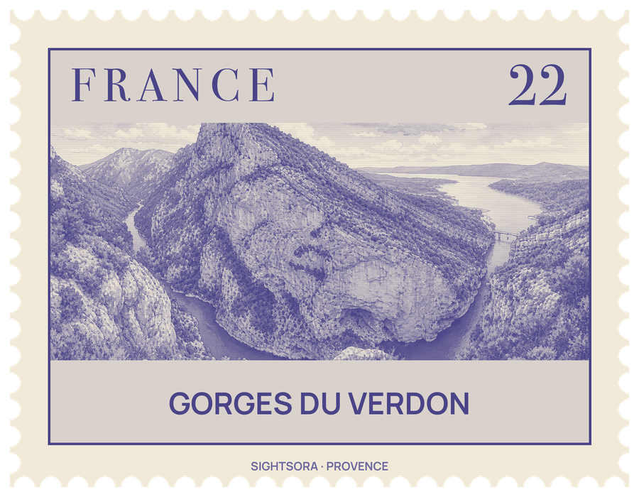
The river takes its name from its turquoise-green colour, which comes from glacial sources and fine rock flour carried in the water. At the western end the Verdon flows out into the artificial Lake of Sainte-Croix. For part of its course the gorge marks the boundary between two départements, Alpes-de-Haute-Provence on the northern side and the Var on the southern.
The canyon falls into three sections: the "Prégorges" between Castellane and Pont de Soleils; the deepest stretch, running on to l'Imbut; and the Canyon, which continues down to the Pont du Galetas. At river level the walls stand 6 to 100 metres apart, while the distance between the rims ranges from 200 to 1500 metres. At the Imbut the river slips out of sight beneath enormous blocks of rock before surfacing again, and the Styx du Verdon is a narrower canyon within the gorge.
The rock was laid down in seas that covered Provence in the Triassic and Jurassic, when corals grew in warm shallow water. Later uplift fractured the limestone, Quaternary glaciers scoured the landscape, and river erosion finished cutting the gorge. Printed descriptions appeared in 1782 and 1804, French tourist guides were featuring it in the later 19th century, and the explorer Édouard-Alfred Martel surveyed the river in 1905, his team completing the first expedition through the canyon at the Pas de Galetas.
Visitors can drive around the rim, rent kayaks on the river or walk. The best-known trail is the Sentier Martel, laid out by the Touring Club de France in 1928 and named after the explorer in 1930; another common walk leads to the Rancoumas viewpoint near the Tusset Bridge. The limestone faces carry more than 1,500 climbing routes, from 20 metres to over 400 metres, and canoeing, rafting, canyoning, paragliding and fly fishing are all practised here. Summer is the busiest season.
Five dams built on the Verdon between 1929 and 1975 created a chain of reservoirs, among them the Lac de Castillon and the Lac de Sainte-Croix. To make the latter, the village of Les Salles-sur-Verdon on the river plain was destroyed in 1973 and rebuilt higher up the valley.
Getting there
The right bank is reached from the north by the D952 between Castellane and Moustiers-Sainte-Marie; the left bank is reached from the south by the D955, D90 and D71 linking Aiguines with Castellane.