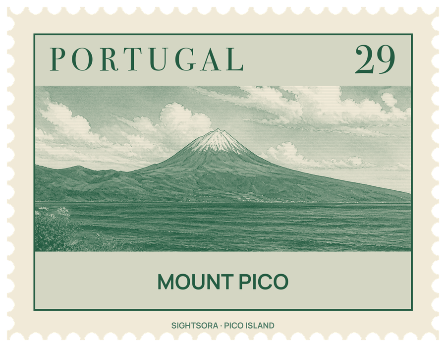
At the top, inside a rounded crater about 700 metres around and some 30 metres deep, a younger cone called Piquinho, or Pico Pequeno, stands roughly 70 metres tall, with sulphur-rich fumaroles venting at its base.
The volcano is young in geological terms, around 750 thousand years old. Its historical eruptions came from vents on the flanks rather than the summit: lava from the southeast flank reached the sea in 1562–1564, a flank eruption in 1718 also sent flows to the coast, and the last eruption took place in December 1720. The mountain was first protected as a reserve in 1972, and the slopes below hold the vineyard landscape of Pico Island, a UNESCO World Heritage site. A research station, PICO-NARE, set up on the summit caldera in 1998 at 2,225 m by the University of the Azores and partner universities, studies how air pollution from North America and Europe affects the atmosphere over the North Atlantic.
The climb is a waymarked hiking route rather than a technical ascent. From the shelter on the mountain the walk to the top covers about 5 kilometres on paths marked by wooden posts roughly 1 metre high, striped red and yellow, each in sight of the next when there is no cloud. The weather is the real difficulty: cloud, thick mist and heavy rain can close in at any time, the summit is usually about 10 °C colder than the starting point, and in winter the top is covered in snow. In such conditions walkers who do not know the mountain can lose the marked trail.
The plant cover changes with height. Between about 1,200 and 1,400 metres sheltered spots carry laurel-forest shrubs such as Juniperus brevifolia and Erica azorica; higher up come low heath plants like Daboecia azorica and wild thyme, and the rare Silene vulgaris cratericola, found only on this mountain and only near the summit. Higher still the vegetation thins out to lava flows, gravel and black scoria. On a clear day the view from the summit takes in Faial close by and, further off, Terceira, São Jorge and Graciosa.