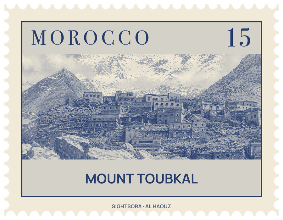
Unlike much of the High Atlas, which is sedimentary rock, the Toubkal massif is volcanic, weathered into sharp alpine crests and split by deep, narrow valleys. On its south side the mountain falls steeply some 1,800 metres to a small lake, Lac d'Ifni.
Most people come to walk rather than to climb. The usual ascent is a non-technical trek that takes two days with a night in a mountain refuge, and it calls for good fitness because of the altitude. Guides and porters can be hired in Imlil, the village at the end of the road, to carry gear and food higher up. Hubert Dolbeau, Vincent Berger and the Marquis de Segonzac made the first recorded ascent on 12 June 1923, and the summit today carries a large pyramid-shaped metal trigonometric marker with views across most of the Atlas and Little Atlas.
From Imlil the normal route walks to the village of Aroumd, crosses a floodplain and follows the valley south to Sidi Chamharouch, a tiny settlement that grew up around a Muslim shrine. From there the path crosses the stream and climbs steeply up the Isougouane valley to a pair of stone-built huts at 3,207 m, the Refuge Les Mouflons and the Refuge du Toubkal, the usual base for the summit.
From the refuges the Ikhibi Sud route goes over the stream, up a steep slope of scree and into a hanging valley, and reaches the col of Tizi'n'Toubkal at 3,940m before turning north up easy slopes to the narrow summit ridge. Steep, slippery scree and altitude are its main difficulties. The Ikhibi Nord route, starting further down the valley, is used less often but is technically easier, and its col also leads to the neighbouring peaks of Imouzzer and Tibherine.
Getting there
Trekkers usually come from Marrakesh to Imlil, the road-end village that serves as the gateway to the mountain, and walk from there.