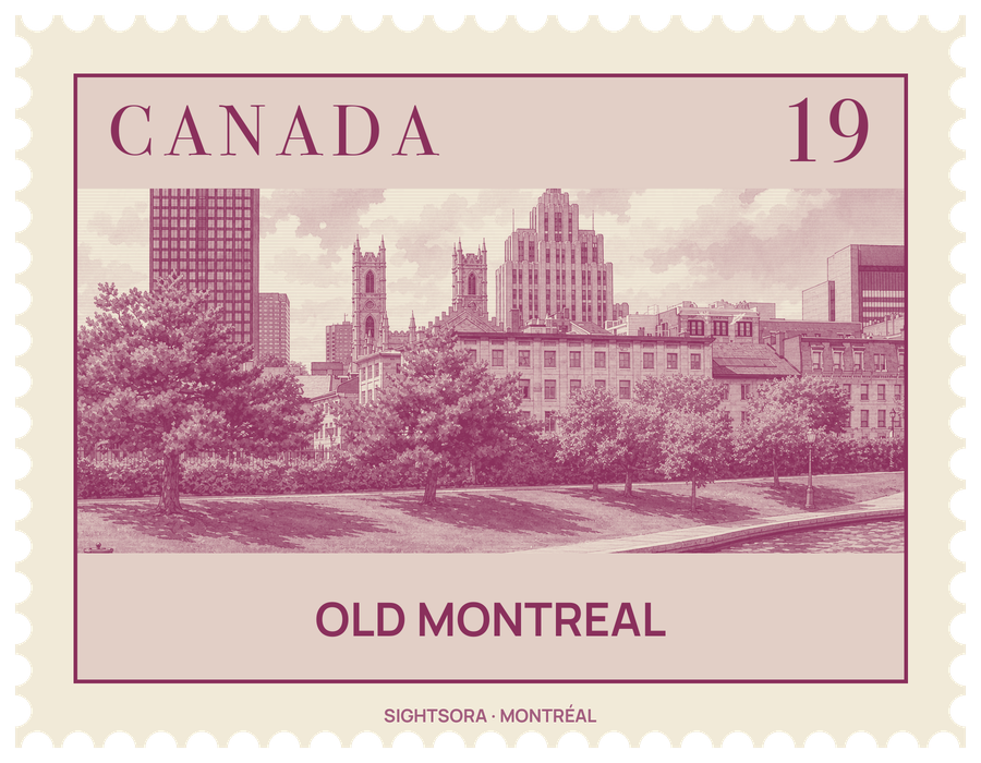
French settlers founded it in 1642 as Fort Ville-Marie, and the colonial name lives on in the borough of Ville-Marie. Many of its buildings date from the era of New France, its cobbled streets have been kept or restored to look as they did in the settlement's early days, and horse-drawn calèches still carry visitors around. Much of the district was declared a historic district in 1964.
Paul Chomedey de Maisonneuve built the first fort in 1643 for the Société Notre-Dame de Montréal, a group set on converting First Nations people and building a Christian settlement. After it dissolved in 1663 the Sulpicians became seigneurs of the island, and François Dollier Casson laid out the first grid of streets along existing trails, among them Rue Notre-Dame, Rue Saint-Paul and Rue Saint-Jacques. Stone walls went up from 1717, but crowded wooden houses kept catching fire, and once the British took over New France in 1763 two great fires in 1765 and 1768 destroyed nearly half the town, which was rebuilt more densely. The walls were pulled down between 1804 and 1815. In the 19th century Scottish and English merchants turned St. James Street into the financial heart of Montreal, lining it with banks, insurers and the stock exchange.
Decline came with the Great Depression, when the port moved further east and warehouses emptied; by 1950 only a few hundred people lived in the district. In the early 1960s, plans for an elevated expressway along rue de la Commune sparked a movement to save it, and the Dutch-born planner Daniel van Ginkel, assistant director of the city's new planning department, persuaded the authorities to drop the road. Residents and hotels have since returned, many in restored older buildings, and a lighting plan picks out the different façade styles at night.
On the eastern side, near Place Jacques-Cartier, stand Montreal City Hall, modelled on the city hall of Rennes, the Bonsecours Market, the Notre-Dame-de-Bon-Secours Chapel and two preserved colonial mansions, Château Ramezay and Sir George-Étienne Cartier National Historic Site. Place Jacques-Cartier began as a market square, the Marché Neuf, after a fire in 1803, and Nelson's Column has stood there since 1809. Behind City Hall, the Champ de Mars looks towards downtown and Chinatown, and two parallel lines of stone there trace the old colonial fortifications.
Further west, Place d'Armes is framed by the Notre-Dame Basilica, with a façade by James O'Donnell, an Irish Protestant from New York, and by the Saint-Sulpice Seminary beside it; facing them are the former head office of the Bank of Montreal, the Aldred Building and the New York Life Building of 1888. Saint Jacques Street continues with old bank buildings such as the Old Royal Bank Building. In the southwest, the Pointe-à-Callière museum displays archaeological remains of the first settlement at Place Royale and Place d'Youville, and the Centre d’histoire de Montréal occupies the city's first fire station of 1903, on the site of the Parliament burned by a Tory crowd in 1849. Along the river, the Old Port surrounds its harbour facilities with open recreational space, museums and attractions, and large cruise ships tie up at the Iberville terminal on the Alexandra Pier.
Getting there
The district is linked to downtown by the Underground City and has three Metro stations, Place-d'Armes, Champ-de-Mars and Square-Victoria-OACI, along with several STM bus routes and a network of bicycle paths.