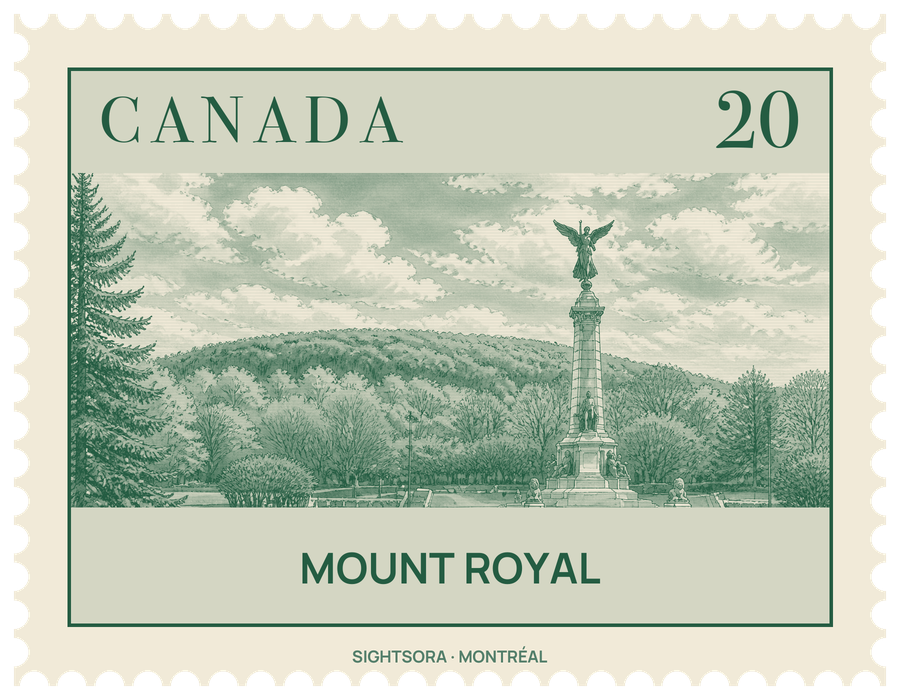
It has three summits: Colline de la Croix, the true Mont Royal, at 233 m; Colline d'Outremont, also called Mount Murray, at 211 m; and Westmount Summit at 201 m. The hill measures about 4 kilometres from east to west and 2.5 kilometres from north to south, and it is the worn-down core of an old volcanic complex that was probably active some 125 million years ago. Magma pushed into the surrounding sedimentary rock and cooled into hard gabbro, and once the softer rock around it had eroded away, the hill was left standing above the plain.
Long before Europeans arrived, the mountain was a gathering place for First Nations peoples, the Mohawk among them, and the village of Hochelaga stood on it as a busy trading centre. A fire beacon on one of the peaks guided canoes to a beach nearby; in 2017 the city gave the green space around the Outremont summit a Mohawk name meaning "the place of the big fire". In 1535 residents of Hochelaga led Jacques Cartier to the top, and he named the hill after his patron, Francis I of France. Paul de Chomedey, Sieur de Maisonneuve, climbed it in 1643 on a pilgrimage and set up the first cross there, keeping a vow he had made to the Virgin Mary during a flood that reached the town palisades.
The cross that crowns the hill today is 31.4 metres high and lit at night; the Société Saint-Jean-Baptiste installed it in 1924, and it now belongs to the city. It usually shines white, but its colour can be changed, for example to the purple traditionally used when a pope dies. Next to it, a plaque marks a time capsule laid in 1992 for Montréal's 350th birthday, holding messages and drawings from 12,000 children about how they imagined the city in 2142.
Most of the hill is taken up by Mount Royal Park (Parc du Mont-Royal), designed by Frederick Law Olmsted and inaugurated on May 24, 1876. Olmsted wanted the planting to thin out as the path climbed, so that the mountain would seem taller than it is, but an economic depression in the mid-1870s meant most of his plan was dropped. The main lookout is the Kondiaronk Belvedere, a semicircular plaza built in 1906 beside the Mount Royal Chalet, looking out over Downtown Montreal; it is named after the Petun chief Kondiaronk, whose influence brought about the Great Peace of Montreal in 1701. Elsewhere in the park are the small, man-made Beaver Lake, used for skating in winter, a sculpture garden, Smith House as an interpretive centre, a snow tube and toboggan run, and groomed cross-country ski trails.
The forest suffered twice, when the city cut down a wooded area known as the Jungle in the morality cuts of the 1950s, and when 5,000 trees damaged by the Ice Storm of 1998 had to be felled, but it has largely grown back and is known for its autumn colours. In summer the east slope near the George-Étienne Cartier Monument, at the foot of the hill facing Park Avenue, fills with the Tam-Tams, an informal gathering where dozens of hand drummers play while others dance; it grew out of an African drumming workshop at a jazz bar on Ontario Street in the late 1970s. Between 1885 and 1920 a funicular railway took sightseers up the mountain, followed by the No. 11 streetcar until 1959, and the Camillien Houde Way now crosses the hill by road. Saint Joseph's Oratory, McGill University and Université de Montréal all stand on its slopes outside the park.