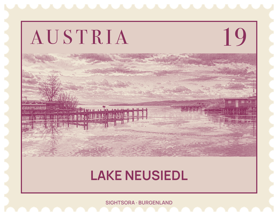
It covers about 315 square kilometres, 240 of them on the Austrian side, stretches some 36 kilometres from north to south and is nowhere deeper than 1.8 metres. A broad belt of reeds rings most of the shore, and the lake together with its villages was inscribed as a UNESCO World Heritage Site in 2001.
With no natural river draining it, the lake has always risen and fallen with the weather. Its bed has dried out completely at least 100 times since it formed, among others in 1740–1742, 1811–1813 and 1866, when farmers sowed wheat and turnips on the exposed floor; the water came back from 1871 and had refilled the basin by 1876. In 1949 the northern part fell dry for a few weeks. Since then an artificial outflow, the Einserkanal, with a sluice on the Hungarian side near Fertőújlak, has kept the level under control.
The reed belt makes the area a major stop for migrating birds, and over 300 bird species have been recorded, around 150 of which breed here. Great egrets nest in large numbers, the white stork is the bird that stands for the region, and birdwatchers come for spoonbills, purple herons, great bustards, avocets and bee-eaters. On the Austrian side the Neusiedler See - Seewinkel National Park protects much of this landscape, and it is linked with the Hungarian Fertő-Hanság park across the border. In winter, once the ice is firm enough, the reed is cut and sold, mostly as building material.
People have lived around the lake since the Neolithic, and its shore towns grew up as places of trade where local and wider cultures met. On the Austrian side these include Neusiedl am See, Podersdorf am See, Illmitz, Purbach am Neusiedlersee, Rust and Mörbisch, while Sopron and Fertőrákos lie on the Hungarian shore; near Fertőrákos visitors can see a pair of Roman villas and a Mithras temple from the 3rd century. Illmitz, Apetlon and Podersdorf make up the Seewinkel, the lake corner between the water and the Hungarian border.
Known as the "Sea of the Viennese", the lake is within easy reach of Vienna and is used for sailing and windsurfing. The regional tourist board promotes the landscape of gentle hills, vineyards and villages for exploring on foot, by bicycle, by ferry or by canoe, with a network of cycle paths that includes a cross-border route through the national park and along the Einserkanal in Hungary. In autumn the wine villages hold the Martiniloben season of wine festivals, vineyard walks and tastings at the growers' cellars.