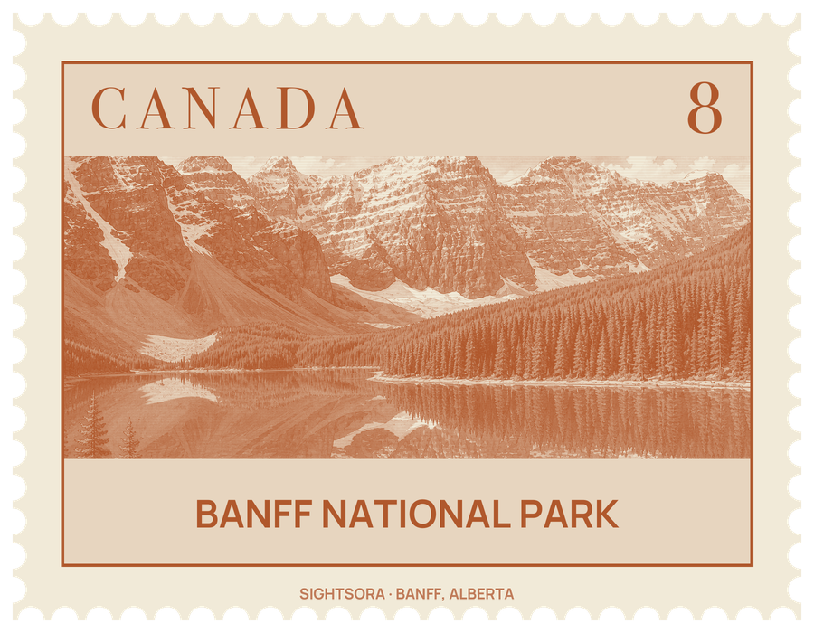
It is Canada's first national park, and together with its neighbours it belongs to the UNESCO World Heritage Site of the Canadian Rocky Mountain Parks, inscribed in 1984. Jasper National Park adjoins it to the north, Yoho and Kootenay national parks lie across the divide to the west, and Kananaskis Country runs along its southeastern side.
The park began with hot water. In 1883 railway workers building the Canadian Pacific line came upon the hot springs at Cave and Basin, and in 1885 the government set aside a small reserve around them; two years later the Rocky Mountains Park Act enlarged it into a national park, given the name Banff in 1930 after the railway station. Long before that, the valleys were home to Indigenous Peoples, among them the Siksika, Plains Cree, Ktunaxa, Tsuut'ina and Stoney Nakoda, and places such as Lake Minnewanka still carry Stoney Nakoda names. The railway built the Banff Springs Hotel and a chalet at Lake Louise to bring in passengers, and much of the park's roads and buildings date from public works projects of the Great Depression. Cave and Basin is now a national historic site presenting the origins of Canada's parks, and the Banff Park Museum, another national historic site, displays more than 5,000 historic plant and animal specimens.
Set in the valley of the Bow River, the town of Banff is the park's commercial centre, with cultural institutions such as the Whyte Museum, the Banff Centre and the Buffalo Nations Luxton Museum, as well as art galleries; the Bow Falls lie on its outskirts, and Mount Rundle rises beside it as a textbook tilted-slab mountain. About 54 kilometres northwest, the hamlet of Lake Louise sits by the lake of the same name, framed by the Victoria Glacier and the Chateau Lake Louise hotel, while Moraine Lake, 15 kilometres away, looks across to the Valley of the Ten Peaks. Ski areas at Sunshine Village and Mount Norquay date back to the 1930s.
From Lake Louise the Icefields Parkway runs 230 kilometres north to Jasper, past Hector Lake, Bow Lake and the Peyto Lakes, over Bow Summit at 2,088 metres and on towards the Columbia Icefield, which straddles the boundary with Jasper. About 100 glaciers and icefields can be seen from the road. Like most mountain glaciers, those of Banff are retreating; the Peyto Glacier has been under scientific study since the 1970s.
Wildlife is part of the visit. Elk and deer graze in the valleys and sometimes wander into the town of Banff, while bighorn sheep, mountain goats, marmots and pikas live higher up; grizzly and black bears, wolves, cougars and moose are present but harder to see. Plains bison were brought back to the park's backcountry in 2017, and at least 280 bird species have been recorded. A network of underpasses and six overpasses lets animals cross the Trans-Canada Highway safely.
Getting there
Calgary International Airport is the closest for long-haul flights; the drive from Calgary to the town of Banff covers 128 kilometres. The Trans-Canada Highway (Highway 1) crosses the park from east to west through Banff and Lake Louise, and the quieter Bow Valley Parkway (Highway 1A) runs roughly parallel to it between the two. Highway 93 continues north from Lake Louise as the Icefields Parkway and southwest from Castle Junction towards Kootenay National Park. Both Lake Louise and Moraine Lake can be reached by transit.