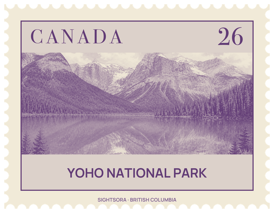
Glaciers, icefields and high peaks fill the park, and its rivers drop in a string of waterfalls. Together with Banff, Jasper and Kootenay and three British Columbia provincial parks, Yoho makes up a single UNESCO World Heritage Site, the Canadian Rocky Mountain Parks, inscribed in 1984. The park's administration and visitor centre are in the small town of Field, beside the Trans-Canada Highway.
The name comes from a Cree exclamation of surprise, yo-ho, though the Cree did not live in this region: the Surveyor General of Canada, Édouard-Gaston Deville, chose it in 1901. The land is the traditional territory of the Secwepemc and Ktunaxa First Nations, and the Ktunaxa crossed the Rockies through Kicking Horse Pass to reach bison hunting grounds on the eastern side. The park began on October 10, 1886, as the small Mount Stephen Reserve around Mount Stephen House in Field, a stopover on the newly built Canadian Pacific Railway. After the explorer Jean Habel came back from the Yoho Valley in 1896 with reports of Takakkaw Falls, the railway advertised day trips into the valley led by Swiss mountain guides, and in 1902 the reserve was expanded to take in the valley and renamed after it.
Yoho is best known for the Burgess Shale, a fossil deposit that Charles Doolittle Walcott came upon in 1909 during a fossil-hunting trip in the park. Its fossils changed the scientific understanding of how complex multicellular life, and early animals in particular, evolved, and the fossil sites are protected by Parks Canada. Mount Stephen, whose trilobite beds were known before the Burgess Shale, also holds part of the deposit. In the southeast corner of the park, an igneous intrusion called the Ice River Complex contains sodalite, an ornamental stone.
Takakkaw Falls drops a total of 373 metres, with a main fall of 254 metres. Wapta Falls, the biggest waterfall on the Kicking Horse River, is about 30 metres high and 150 metres wide. Designated a Canadian Heritage River, the Kicking Horse rises in the Wapta and Waputik icefields inside the park and has worn a natural bridge through solid rock 3 km west of Field, reached from the road to Emerald Lake. The highest summit is Mount Goodsir at 3,562 m in the Ottertail Range; Mount Burgess, at 2,599 m, is a popular climb and was pictured on a Canadian banknote for 17 years.
Wildlife includes grizzly and black bears, wolves, moose, elk, mountain goats, wolverines, lynx, cougars, pikas and hoary marmots. The park also protects human history, including old warden cabins and two National Historic Sites, Twin Falls Tea House and Abbot Pass. Lying west of the continental divide, Yoho gets more rain and snow than the eastern slopes, the weather changes quickly, and snow and frost can come even in summer above 1,500 m; Parks Canada advises checking trail conditions before setting out.