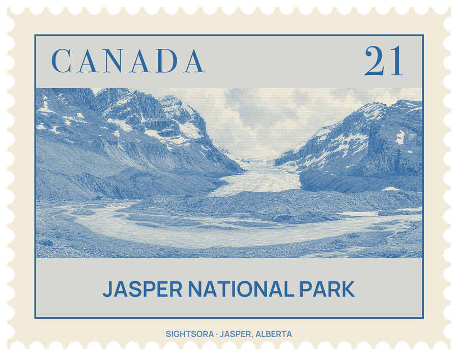
It began as Jasper Forest Park in 1907, became a national park in 1930, and in 1984 joined Banff, Kootenay, Yoho and three British Columbia provincial parks in the Canadian Rocky Mountain Parks, a single UNESCO World Heritage Site. Most of it is wilderness reached only by trail, while the developed sights cluster in five regions that can be reached by car. The Royal Astronomical Society of Canada named the park, in 2011, a dark-sky preserve because so little artificial light reaches it.
Nakoda, Cree, Secwépemc and Dane-zaa peoples have lived in these valleys since time immemorial, and projectile points found at the head of Jasper Lake date from between 8000 and 7000 BCE. The park takes its name from Jasper Haws, a fur trader born in Maryland who took charge of a North West Company supply post in 1817; it became known as Jasper's House, and its site is marked today by a plaque and a viewpoint beside Highway 16, on the far bank of the Athabasca River. The fur brigades crossed the mountains through Athabasca Pass, which in 1971 became a National Historic Site of Canada; a bronze plaque at a pullout on the Icefields Parkway looks out towards it. The Grand Trunk Pacific laid its line over Yellowhead Pass in 1911 and founded a station town called Fitzhugh, which was renamed Jasper in 1913.
The town of Jasper is the base for most services, and its Visitor Information Centre occupies an early park building, the former administrative centre and superintendent's residence. Above the town to the northwest, trails on Pyramid Bench lead to Patricia and Pyramid Lakes. On Lac Beauvert, on the far side of the Athabasca River east of town, stands Jasper Park Lodge, one of the earliest tourist developments, whose main lodge dates from 1921. South of town, the Jasper Skytram, an aerial tramway, climbs from the bottom of the valley up to the shoulder of Whistlers Peak.
The Maligne Valley is reached by the 44 km Maligne Lake Road. Maligne Canyon, near the mouth of the Maligne River, is a karst slot canyon cut into limestone by slightly acidic water, in places 55 metres deep and only a couple of metres wide, with waterfalls, potholes and caves; a trail crosses it on four bridges, and in winter people walk along the frozen river on its floor. Most of the river's water reaches the canyon underground from Medicine Lake, 16 kilometres up the valley, which drains through sinkholes in its bed. The road ends at the northern tip of Maligne Lake, 22.3 kilometres long, where boats run to Spirit Island near the middle of the lake.
Along Highway 93A, the old road between Banff and Jasper, Mount Edith Cavell offers a view of the Angel Glacier and the Cavell Meadows, known for wildflowers in July, and at the road's southern end the Athabasca Falls pour 23 metres over a ledge of hard quartzite that is slowly cutting down into the softer limestone below. Further south on the Icefields Parkway are Sunwapta Falls, where a hanging valley meets the deeper Athabasca valley, and the Athabasca Glacier, a tongue of the Columbia Icefield near the Banff boundary. A 1.8-kilometre interpretive trail leads up to the ice, with markers showing how far the glacier, retreating since at least the 19th century, once reached. East of town, a 17 km road leads to Miette Hot Springs, whose outdoor pools draw on three thermal springs in the Fiddle River valley, above Sulphur Creek.
The park has at least 50 mammal species and 1,100 kilometres of trails, including the Tonquin Valley, the Skyline Trail and the Brazeau, with more than 80 backcountry campgrounds. Summer brings hiking, fishing, rafting, kayaking, wildlife watching and camping; in winter visitors ski, snowshoe and cross-country ski, and Parks Canada describes the winter months as a highlight. Parks Canada also invites visitors to seek out its red chair locations around the park.
Getting there
Highway 16, part of the Trans-Canada and Yellowhead highway systems, crosses the park from east to west and passes the town of Jasper. From the south, the Icefields Parkway (Highway 93) runs 230 km north to Jasper from Lake Louise in Banff National Park, where it meets Highway 16, with viewpoints, trailheads and campgrounds along the way.