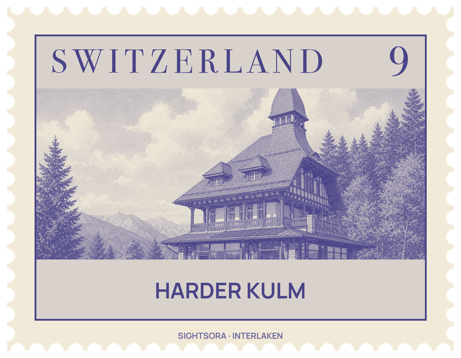
It sits at the western tip of the Harder, the westernmost wooded ridge of a mountain range some 30 kilometres long that lines the Lake of Brienz along its northern side. From up here the view spreads over Interlaken and the Bödeli, the flat alluvial land the town is built on, and southwards along the Lütschine valley as far as the high summits of the Bernese Alps.
The summit is taken up by the Bergrestaurant Harder Kulm, a building that looks like a small castle, with an observation platform next to it. Administratively the viewpoint is part of Unterseen, in the canton of Bern, while the slopes below are split between Unterseen and Interlaken, and the Harder itself is counted as part of the Emmental Alps.
Getting there
The Harderbahn, a funicular for visitors, climbs from Interlaken in eight minutes; its upper station is about five minutes' walk from the restaurant.