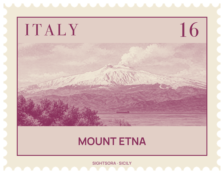
Its summit height shifts as eruptions build up and break down the craters. The fertile volcanic soil of the lower slopes is planted with vineyards and orchards that run down into the Plain of Catania, and the borders of ten municipalities, among them Bronte, Nicolosi, Randazzo and Zafferana Etnea, meet at the top. UNESCO added the mountain to its World Heritage list in June 2013.
The volcano erupts in two ways. Most activity comes from the summit, which has five craters: the Voragine and the Bocca Nuova, the Northeast Crater, and a pair that make up the Southeast Crater Complex. Eruptions from the flanks, through more than 300 vents, pose the greater threat to people, since they can open low down near villages; many settlements around the mountain stand on the cones of old flank eruptions. On the eastern side, the Valle del Bove is a huge hollow left when part of the mountain slid away, thought to have happened around 8,000 years ago, and its steep walls lay bare layer after layer of past lava.
Etna has shaped the towns around it. In 1669 lava destroyed at least 10 villages and reached the walls of Catania on 15 April, filling the city's harbour; in 1928 a flow from a fissure at Ripe della Naca wiped out almost the whole village of Mascali, which was rebuilt on a new site. During the 1991–1993 eruption engineers used earth barriers and then explosives to send the lava away from Zafferana Etnea, saving the town. In Greek myth Zeus trapped the monster Typhon beneath it and the forges of Hephaestus burned inside, while the Italian name Mongibello is used for the summit craters.
Most visitors approach from the south side by road to the Sapienza Refuge, which is also a ski area, and continue by cableway; a smaller ski area lies on the north side at Piano Provenzana near Linguaglossa. Both tourist stations have been damaged by lava over the years, the northern one destroyed in the 2002–2003 eruption. Scientists of the INGV, the national volcanology institute, follow the volcano from the Osservatorio Etneo in Catania, which has a second base at Nicolosi and runs video surveillance of the mountain.
Getting there
The usual route is the road up to the Sapienza Refuge, at 1,910 m on the south side of the summit craters. From there a cableway climbs to about 2,500 m, the starting point for the crater area at 2,920 m. Around the base of the mountain, the narrow-gauge Ferrovia Circumetnea runs a 110 km semicircle from Catania to Riposto, 28 km north of Catania.