It lies 12 kilometres from Sharm El Sheikh. The name means Cape of Muhammad; it is said to come from the shape of the cliff, whose hard horizontal layers form the nose and bearded chin of a man's profile. In antiquity the promontory was called Poseidion, a sign that a shrine to Poseidon once stood here.
Protection began after Sinai was returned to Egypt, when fishing with dynamite and knives was harming the reefs and fish. In 1983 the Egyptian Environmental Affairs Agency made the area a marine reserve, partly to shield it from the spread of Sharm El Sheikh and other coastal building. The park covers about 480 square kilometres, of which 345 are sea and 135 are land.
The reefs are the main reason most people come. More than 220 species of coral grow around the cape, 125 of them soft corals, and the waters hold more than 1,000 species of fish along with starfish, sea urchins, molluscs and crustaceans; green and hawksbill turtles are seen regularly. Shark Reef and Yolanda Reef draw divers, as do Shark Observatory, Old Quay, South Bereika and Marsa Ghozlani, and the wreck of the SS Thistlegorm lies off the coast. Marsa Bareika is a small bay cutting into the park, and the tiny inlet of Marsa Ghozlani faces the visitors centre.
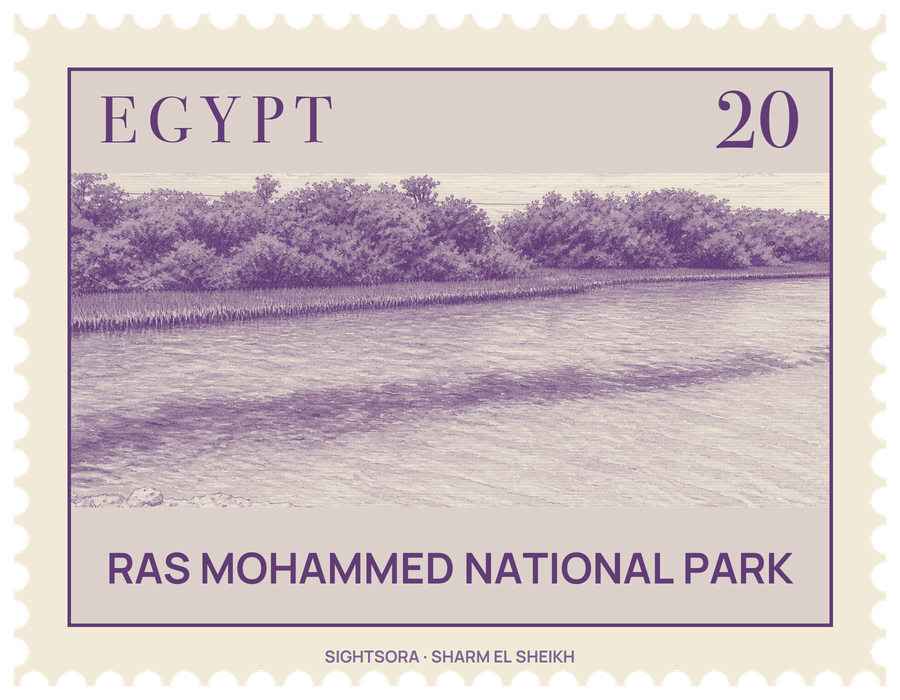
The land is worth a look as well. The cape sits where the Arabian and African plates meet the Sinai subplate, and earthquakes have left their mark: about 150 metres inland, near a shallow channel lined with mangroves at the southern tip, open cracks split the ground, one of them some 40 metres long, with pools of water inside, some over 14 metres deep. Further inland the park takes in mountains, wadis, gravel and mud plains and sand dunes, with acacias and doum palms around the mouths of the wadis. Migrating birds stop here to rest and feed.