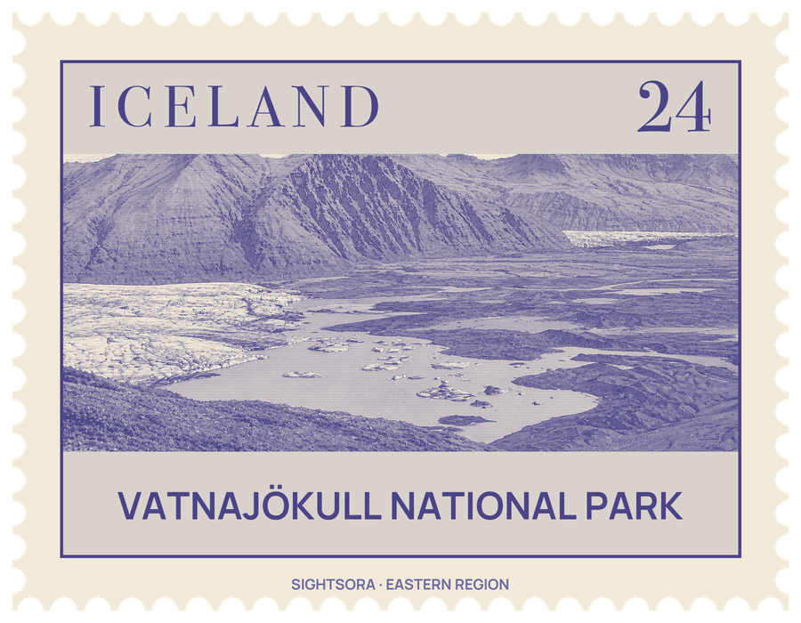
It was founded on 7 June 2008, absorbing the older national parks at Skaftafell in the south-west and Jökulsárgljúfur in the north, and has since grown with the addition of Lakagígar, Langisjór, Krepputunga and Jökulsárlón. On 5 July 2019 it was inscribed as a UNESCO World Heritage Site. The park authority explains the listing by the meeting of fire and ice: volcanoes and glaciers here sit on top of a plate boundary and a mantle plume, and their interplay with rivers and geothermal heat has produced an unusually varied landscape.
The ice cap itself is generally 400–600 m thick and up to 950 m at its deepest, hiding mountains, valleys and plateaus beneath it. Its highest point stands more than 2,000 m above the sea, while its base dips to 300 m below sea level. Under the ice lie active central volcanoes, Bárðarbunga the largest and Grímsvötn the most active. The park authority notes that Iceland's glaciers have been retreating fast for more than two decades, a clear sign of the warming climate, and the land around them keeps changing as glacial rivers flood and shift and lagoons form, grow or drain.
Each side of the glacier has its own character. In the north, glacial rivers cut across the highland plateau beneath the volcanoes Askja, Kverkfjöll and Snæfell and the table mountain Herðubreið; ancient floods carved the canyon of Jökulsárgljúfur, with Dettifoss at its upper end and the rock formations of Hljóðaklettar and the horseshoe cliffs of Ásbyrgi further down. To the east, around Snæfell, wide wetlands support reindeer and pink-footed geese. The south is a line of high ridges with outlet glaciers spilling between them; at the southern tip the ice wraps around the volcano Öræfajökull and the peak Hvannadalshnjúkur, and the green refuge of Skaftafell looks over the black ash sands laid down by the river Skeiðará. West of the ice lie the eruption sites of Eldgjá, from 934, and Lakagígar, from 1783–1784, and the colourful geothermal area of Vonarskarð.
The park is run as four territories, each with its own visitor centre: at Ásbyrgi in the north, Skriðuklaustur in the east, Skaftafell in the south and Kirkjubæjarklaustur in the west, with information centres also in Höfn, Hoffell, Hólmur and Skálafell. Rangers lead nature walks, and the park has campsites and huts. Marked trails range from an easy walk of about 15 minutes at Jökulsárlón and an easy return walk in Ásbyrgi to demanding routes such as the 8 km hike towards Skálafellsjökull, which takes three to four hours. Much of the park is highland, so trips there need careful planning, and most of it cannot be reached in winter.