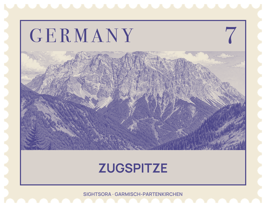
Below the peak to the south spreads the Zugspitzplatt, a high limestone plateau of scree, bare rock and patches of grass, while the lake of Eibsee lies at the mountain's northern foot. Visitors can reach the top by rack railway and cable car, or on foot by one of several long mountain routes.
The mountain once had three summits. Only the eastern one, which lies wholly in Germany, keeps its original shape: the middle summit gave way to a cable car station in 1930, and the western one was blown up in 1938 for a flight control room that was never built. The gilded summit cross stands on the east summit; the original was carried up in 1851 on the initiative of the priest Christoph Ott, and the present one, a faithful replica, was flown up by helicopter after the old cross had been damaged by lightning and by soldiers' target practice. A survey team led by Lieutenant Josef Naus made the first recorded ascent on 27 August 1820, though a map from 1770 suggests local people had reached the top decades earlier. The name probably comes from the Zugbahnen, the avalanche paths that sweep down its slopes.
The summit is busy with buildings. The Münchner Haus, a German Alpine Club hut completed in 1897, sits just below the west summit, and a weather station has gathered data here for more than a hundred years. A post office has operated on the mountain since the winter of 1931/32 and is now in the Sonnalpin restaurant, with its own address, 82475 Zugspitze. On the Zugspitzplatt, the Schneefernerhaus, built in 1930 for the rack railway with a hotel added the following year, has been an environmental research station since the late 1990s. In winter, nine ski lifts serve the slopes of the plateau.
The surrounding rock is home to chamois, marmots live on the southern side of the massif, and alpine choughs gather at the summit. Edelweiss and gentians flower on the mountain, and sheep have grazed the Zugspitzplatt since the 16th century. Two glaciers survive on the massif, the Northern Schneeferner on the plateau and the Höllentalferner in a cirque below the Jubilee Ridge.
For walkers, the classic ascent follows the route of the first climbers through the Reintal valley, the easiest of the normal routes but also the longest, taking eight to ten hours. The route through the Höllental is harder, with a glacier crossing that calls for crampons and a klettersteig section on fixed iron ladders and steps, and takes seven to eight hours; from Ehrwald in Austria a third route climbs through the Austrian Cirque. The Jubilee Ridge (Jubiläumsgrat), roughly eight kilometres long, links the Zugspitze with the Alpspitze and Hochblassen and includes unprotected climbing sections. With about 2,200 metres of height gain from Garmisch-Partenkirchen, every ascent on foot is a serious mountain undertaking.
Getting there
From the German side, the Bavarian Zugspitze Railway, a rack railway, climbs inside the mountain's northern flank to the Zugspitzplatt, from where the Zugspitze Glacier Cable Car continues to the summit; the Eibsee Cable Car rises to the top from the lake of Eibsee. From Austria, the Tyrolean Zugspitze Cable Car runs up the western side to the summit.
On foot, the Reintal route starts at the ski stadium in Garmisch-Partenkirchen and passes through the Partnachklamm gorge, while the Höllental route begins in Hammersbach and leads through the Höllentalklamm. Mountain huts along the way include the Reintalanger Hut and the Knorr Hut on the Reintal route and the Höllentalanger Hut in the Höllental.