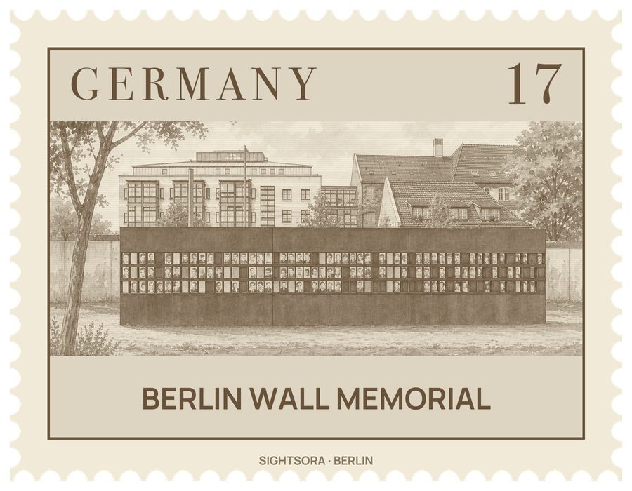
The Federal Republic of Germany and the State of Berlin set it up in 1998, to a design by the architects Kohlhoff & Kohlhoff, and the Berlin Wall Foundation runs it. Its core lies where Bernauer Straße meets Ackerstraße, and west of Berlin Nordbahnhof the outdoor grounds have been shaped into a memorial landscape.
Its centrepiece is a 60-metre stretch of the border fortifications preserved in the state of 1989. Coming from the western side, the layers run as follows: a wall built of L-elements, then a sandy strip, a lit patrol road known as the Kolonnenweg, a signal fence and finally the inner wall, with a watchtower inside the complex. Visitors look into this strip but cannot walk into it; both ends are closed off with stainless steel, and the northern wall bears a German inscription recalling the victims of communist tyranny and the years of division, which lasted from 13 August 1961 until 9 November 1989.
Across Bernauer Strasse, the Berlin Wall Documentation Centre has seminar rooms, exhibitions and a five-storey observation tower. The indoor exhibition, "1961 | 1989. The Berlin Wall", covers the history of the Wall, while an outdoor exhibition runs through the grounds and a further exhibition deals with border stations and the ghost stations of divided Berlin. The street can also be explored with a smartphone guide, and a visitor centre stands where Gartenstraße joins Bernauer Straße.
Within the former death strip stands the Chapel of Reconciliation, an oval church by Rudolf Reitermann and Peter Sassenroth wrapped in a façade of wooden rods. It holds a prayer room and incorporates material from the Versöhnungskirche, the Church of Reconciliation that stood on the same spot until 1985, when it was destroyed because it lay inside the border strip.