It was created by the Armistice Agreement of 27 July 1953, when each side pulled its troops back 2,000 metres from the front. Down its middle runs the Military Demarcation Line, which marks where the front stood when the agreement was signed. The zone itself is demilitarized, but the land on either side of it is heavily fortified.
Visitor sites on the South Korean side, such as the infiltration tunnels and the observatories looking north, lie inside the Civilian Control Zone, a further buffer that reaches 5 to 20 kilometres south of the zone's Southern Limit Line. Its edge, the Civilian Control Line, is marked by barbed-wire fences and manned guard posts, and the fence that appears in most tourist photographs of the DMZ is in fact this one; the fence on the Southern Limit Line itself is reserved for soldiers.
Since 15 November 1974 the South has found four tunnels running south under the zone, and the second, third and fourth can be visited from the southern side. The third, found on 17 October 1978 after a tip from a North Korean defector, is about 1,600 metres long and lies about 73 metres below ground; visitors go down into it by a sloping access shaft. It climbs gently as it heads south so that water would drain away. North Korea described the tunnels as coal mines, yet they were cut through granite, no coal was ever found in them, and some walls had been painted black to look like anthracite. The second tunnel, found in 1975, is roughly 2 by 2 metres and runs between 50 and 160 metres underground; the fourth, found in 1990, lies north of Haean town on the former Punchbowl battlefield.
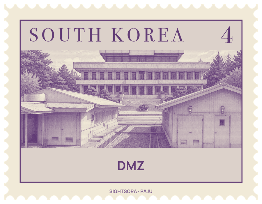
Near the western end of the zone, at Panmunjeom, is the Joint Security Area, where all talks between the two sides since 1953 have been held. Its conference rooms straddle the demarcation line, which runs down the centre of the tables where the delegations sit face to face. Opposite them stand the North Korean Panmungak and the South Korean Freedom House, rebuilt in 1998 around the old Freedom House Pagoda. Close by is the Bridge of No Return, used for exchanges of prisoners, and the roads from north and south meet here at a concrete line 20 cm wide.
Two villages are allowed to remain within the zone, facing each other across the line: Daeseong-dong, the Freedom Village on the southern side, and Kijŏng-dong, the Peace Village on the northern side. In the 1980s the South raised a 100-metre flagpole in Daeseong-dong, and the North answered with a 160-metre flagpole in Kijŏng-dong, 1.2 km west of the border. Kijŏng-dong's multi-storey buildings were turned so that their blue roofs and white walls would stand out when seen from the border.
Seven decades with almost no people have left the zone as a strip of mountains, grassland, swamps, lakes and tidal marshes that holds over 6,000 species of plants and animals. Surveys have counted about 2,900 kinds of plants, 320 of birds and 70 of mammals, among them the endangered red-crowned crane and the white-naped crane. In Cheorwon, the ruins of Taebong, the short-lived kingdom founded by Gung Ye in 901, together with his castle and tomb, also lie inside the zone, out of reach of everyone except the soldiers who patrol it.