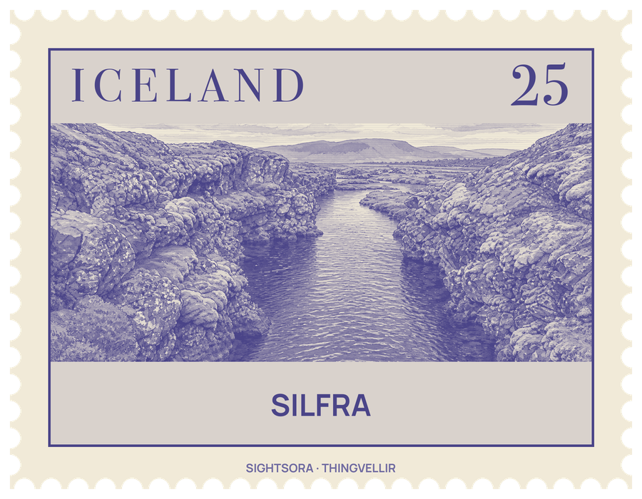
The North American and Eurasian plates are pulling apart here by about 2 cm a year; the strain builds up and is released in large earthquakes roughly every ten years, which open cracks and fissures across the Þingvellir valley. Silfra is among the largest and deepest of them, and boulders that have tumbled into it have formed caves inside the fissure.
What makes Silfra famous is its water. It starts as meltwater from the Langjökull glacier, about fifty kilometres to the north. Long ago that water ran to the lake in a river, until lava from the Skjaldbreiður volcano blocked its path; since then it has soaked into the porous lava and travels underground for thirty to a hundred years before rising from springs at the base of the fissure. The filtering leaves it exceptionally clear and fit to drink, at a temperature between 2 and 4 °C.
That clarity, and the chance to float in the rift between two continental plates, make Silfra a popular place for scuba diving and snorkelling. Divers know three main parts. Silfra Hall is a set of underwater caves reaching about 45 metres deep; the Cathedral is a fissure 100 metres long where the water is clear almost from one end to the other; and the Lagoon, about 120 metres long, is a shallow basin carpeted with green algae where divers and snorkelers come out. The deepest point of the fissure is 63 metres.
Little lives in water this cold, but there are some residents. A small amphipod, Crymostygius thingvallensis, is known only from Thingvellir Lake and its fissures, and the dwarf char, a smaller form of Arctic char, lives in the darker depths of Silfra all year, so it is rarely seen. Arctic char from the lake also come into the fissure at times. Above the water, Þingvellir is a UNESCO World Heritage area where Iceland's first parliamentary assembly, the Althingi, met in 930, and from the raised ridgeline visitors can look across the many fissures, Silfra among them.
Getting there
From Reykjavik, the capital, Silfra lies to the east, roughly 45 to 60 minutes away by car.