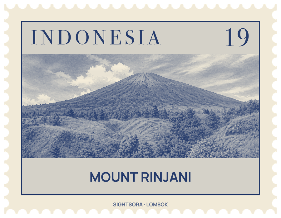
Seen from the east it is a steep cone, but its western side is cut away by an oval caldera about 6 by 8.5 kilometres across. Inside lies the crater lake Segara Anak, whose Sasak name means "Child of the Sea", after its ocean-blue colour; the lake sits about 2,000 metres above sea level, and hot springs rise in the caldera around it.
The caldera is the scar of a much older mountain. Before the 13th century a volcano named Samalas, higher than Rinjani, stood here, and in 1257 it destroyed itself in an eruption so large that its sulphur has been traced in ice cores and linked to a period of global cooling and failed harvests. A new cone, Gunung Barujari, has since grown at the eastern end of the caldera, and lava from its eruptions has flowed into the lake, which curves around it in a crescent.
The mountain and the lake are sacred to the indigenous Sasak people, who live on its slopes, and to other folk religious communities, and they are used for religious ceremonies. The volcano and its caldera are protected by Gunung Rinjani National Park, created in 1997, which covers 41,330 hectares and is ringed by a further 66,000 hectares of protected forest; it serves as both a nature reserve and a water catchment. Since April 2018 the caldera has also belonged to UNESCO's Global Geoparks Network. Its wildlife includes the Rinjani scops owl, found in 2003 and later recognised as an endemic species.
Trekking is the main way to see Rinjani. Walkers can climb to the caldera rim, descend into the caldera to the lake, or take on the harder ascent to the summit, and the climb is demanding enough that fatalities have occurred. Basic tourist services on the mountain are concentrated around the village of Senaru, and a volcano observation post stands in the village of Lawang in Sembalun, on the north-east side of the mountain.