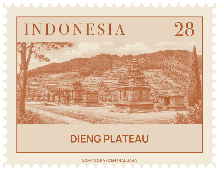
The surrounding peaks enclose an area about 6 km from north to south and 14 km from west to east, shared between the regencies of Banjarnegara and Wonosobo. Its fertile fields have earned it the nickname "the land above the clouds", and the name Dieng itself comes from the Old Javanese Dihyang, the place of the ancestors or of the gods, who were believed to dwell in high places.
In the 8th and 9th centuries Dieng was a centre of Hindu worship, and its temples hold some of the oldest stone structures known in Java. Most of what was found here points to Shiva as the main deity: lingga, yoni, statues and inscriptions that open with praise of him. Old Javanese inscriptions from the 9th century name the area Dihyang and mention gifts and duties connected with its sacred buildings. When Thomas Stamford Raffles visited in 1815, he noted about 400 temples and other ancient sites, many of them standing in water, and in 1856 J. Kinsbergen reopened an old drainage channel, Gangsiran Aswatama, and photographed some of the remains.
Only a few temples now remain standing. They are grouped into the Arjuna, Dwarawati and Gatotkaca clusters, with the Bima temple standing apart, and they take their names from Mahabharata characters and figures of the Wayang Kulit shadow-puppet theatre. The plateau itself was once a lake, dammed by lava from surrounding eruptions and gradually filled in with sediment.
Beneath the surface, the volcanic system is still alive. Craters such as Sileri and Sikidang are active, there are volcanic lakes on the plateau, and the underground heat is tapped by geothermal wells in the Batur and Kejajar districts to generate power. The climate is cool and wet, and on the coldest nights temperatures can fall below freezing, laying a frost known as bun upas over the fields; this draws onlookers, but it damages the crops, above all the potatoes that have dominated local farming since 1985.