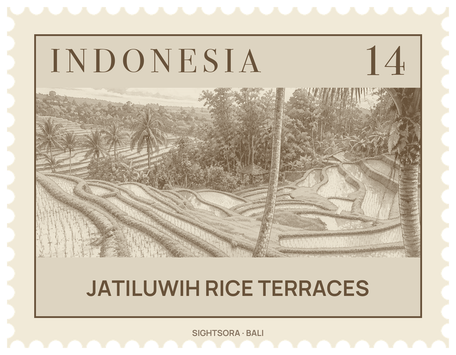
The village lies at about 700 metres above sea level and covers 2,233 hectares, stretching 3.5 kilometres from east to west and 2 kilometres from north to south; most of its people farm. Its terraces are part of the Subak system, Bali's Cultural Landscape, inscribed as a UNESCO World Heritage Site in June 2012.
The terraces depend on subak, an irrigation system kept up for centuries and run not by royal order but by village cooperatives. Each farmer belongs to a subak whose fields draw on a single dam, and its members elect a head, the Klian Subak. The subaks are tied to mountain temples, which in turn answer to two lake temples: Pura Batu Kau oversees the water of West Bali, while Pura Ulun Danu, on the shore of Lake Beratan, governs the rest of the island to the north, east and south. Water temples hold festivals every 105 days, matching the rice-growing season, and the same cycle decides when canal sluices open and close so that planting is staggered and water shared fairly.
Behind the system lies the Balinese doctrine of Tri Hita Karana, which asks for harmony between people and God, between people themselves, and between people and nature. Rice is honoured through Dewi Sri, the goddess of rice. For visitors, Jatiluwih is a place to walk through the paddies on paths between the terraces, to cycle in the cool mountain air, and to learn how the subak works.
Getting there
Jatiluwih is about 40 kilometres from Denpasar, a drive of roughly two hours. From Tabanan city it is 26 kilometres north, about 45 minutes by car, and from Penebel 13 kilometres, about 30 minutes. Cafés with tables overlooking the terraces line the road.