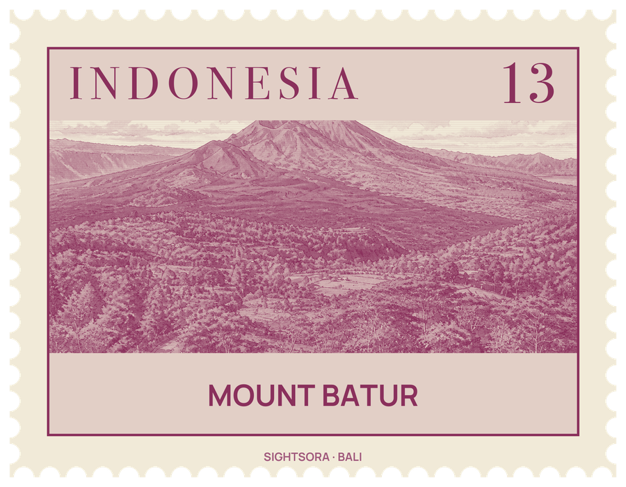
The larger caldera measures about 10 by 13 kilometres and the inner one 7.5 kilometres; both formed when the magma chamber beneath collapsed, the first roughly 29,300 years ago. In 2012 UNESCO made the Batur Caldera part of the Global Geoparks Network.
Batur's first recorded eruption was in 1804, and it has erupted often since then, including in 2000. From Kintamani, a town on the southwest rim of the caldera, the broad lava field left by the 1963 eruption is still plain to see.
The caldera floor is lived in: fifteen villages lie inside it, the main ones being Kedisan, Songan, Trunyan and Toya Bungkah. Most residents farm, but tourism has grown because the walk up to the summit crater is fairly straightforward.