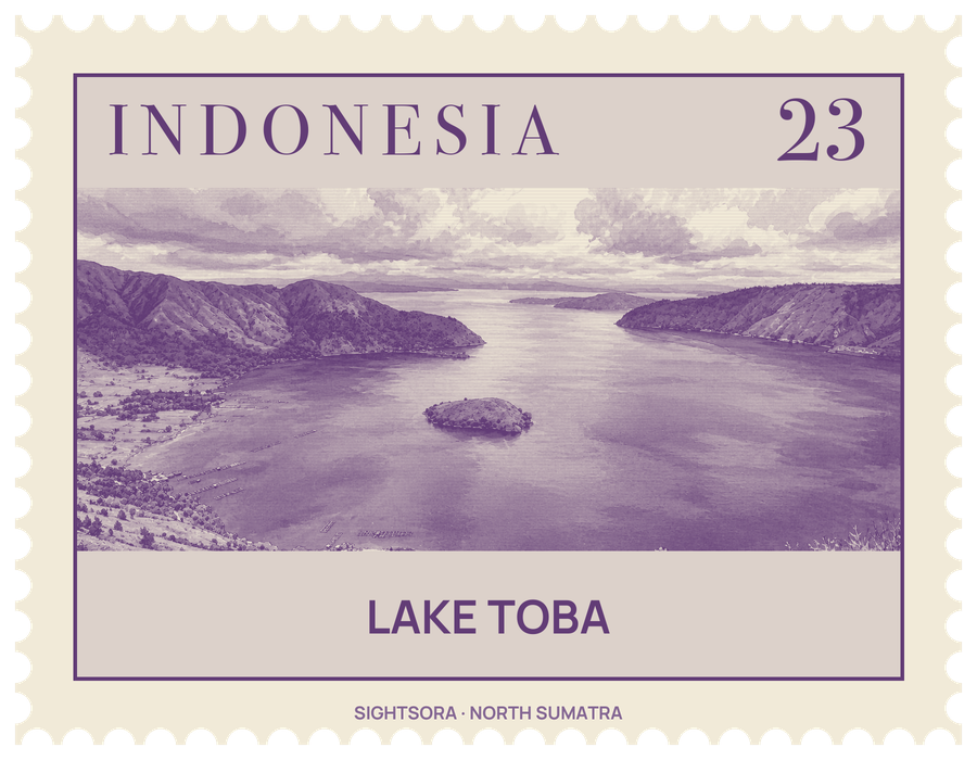
The lake is about 100 kilometres long and 30 kilometres wide and reaches a depth of 505 metres, and at its centre lies Samosir Island, a dome of land pushed up from below after the caldera formed. In July 2020 the Toba Caldera was recognised as one of the UNESCO Global Geoparks.
The basin was made by an eruption more than 70,000 years ago, rated VEI 8 and the last of at least four caldera-forming eruptions here. Ash from it fell across South Asia, as far as central India and Malaysia, and the ground then collapsed into a caldera that filled with water. Since then the ground has risen again in places: lake sediments on Samosir show that the island has been lifted by at least 450 metres, and the Uluan Peninsula was pushed up in the same way. Smaller volcanic features remain around the shore, including the Pusubukit volcano on the southern edge and the bare Tandukbenua cone on the north-west rim, which may have erupted within the last few hundred years.
Most people around the lake are Batak, and their traditional houses are easy to recognise by their painted decoration and roofs that sweep up at both ends like the hull of a boat. A traditional Batak house can be seen at Ambarita, and Toba Batak canoes carry carved prows. The village of Tongging, near the Sipiso-Piso Waterfall, looks out over the water, and Sibandang Island can be seen from the southern shore. A local folk tale explains the lake's origin through a fisherman who caught a golden fish, and Samosir Island is said to be that fish's son.
The surrounding hills are covered in rainforest, with Sumatran tropical pine forest on the higher slopes. The lake's waters are poor in nutrients, so native fish are few; the Batak fish, Neolissochilus thienemanni, is one of the lake's only endemic fish, and it is threatened by deforestation, pollution and the many fish introduced to the lake.
Getting there
Parapat, a town on the lake shore, is the transit point for trips on the lake and to Samosir Island. It lies about 173 km by road from Medan, linked via the Trans-Sumatran Highway and a 48 km road through Pematang Siantar, and about 76 km from Sisingamangaraja XII International Airport.