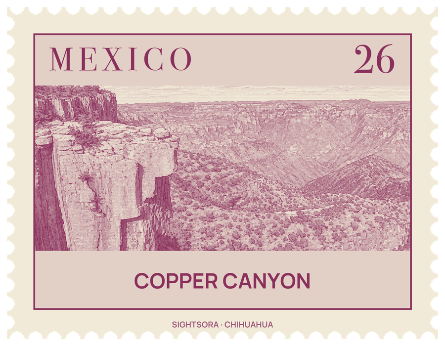
Each was carved by one of six rivers draining the western flank of the Sierra Tarahumara, and all of them end up in the Rio Fuerte, which flows to the Gulf of California. The canyon walls have a copper-green tint, which gave the region its name.
The canyons hold several climates stacked on top of each other. Mexican Douglas-fir covers the high plateaus above 2,400 metres, where wildflowers bloom after the summer rains and cougars keep to the most remote corners. Between 1,200 and 2,400 metres there are huge oak forests, coloured in autumn by Andean alder and poplar, and scrub clings to the dry slopes. Down on the canyon floors the air is warm and humid all year, and with ample water huge figs and palms flourish.
The canyons are home to the Rarámuri, whom the Spanish called the Tarahumara; with no official census, their number is put at about 70,000. The Spanish arrived in the 17th century and found silver on their land, enslaving some of them for the mines and pushing others off the better ground and up into the cliffs. Many Rarámuri still move with the seasons, spending the hot months in the cooler highlands and going deeper into the canyons for the winter. They are known for endurance running, covering long climbs and descents on foot for hours, and for rarajipari, a race in which a wooden ball is kicked along steep canyon paths.
Visitors explore the region on foot, by bicycle, by car or on horseback, but most come by train on the Ferrocarril Chihuahua al Pacífico, the ChePe, which follows the main canyon, Canyon Urique. Started in the late 19th century and held up by the Mexican Revolution, a shortage of money and the terrain, the line was finished only in 1961; it runs for 652 kilometres with 39 bridges and 86 tunnels, and along the way Rarámuri sellers lay out food and crafts. The Parque Nacional Barranca del Cobre protects part of the area, and Basaseachic Falls National Park lies within the canyon country too.
Towns along the canyons make useful bases. Creel sits on the rim at 2,350 metres and is a centre for trade and tourism. Batopilas, a canyon-floor town at 600 m beside its namesake river, grew from a Spanish silver-mining settlement of around 1632. Urique lies at 560 m on the Urique River, below Bahuichivo, and Cerocahui is 14 km south of the train stop at Bahuichivo. At Témoris, the train crosses the valley three times and climbs through a tunnel 1,600 metres long.
Getting there
The ChePe railway links the city of Chihuahua with Los Mochis, near the Gulf of California coast. Creel is on the line, and Bahuichivo is the stop for Cerocahui and Urique; Urique is linked to Batopilas, 30 km away, by a rough road.