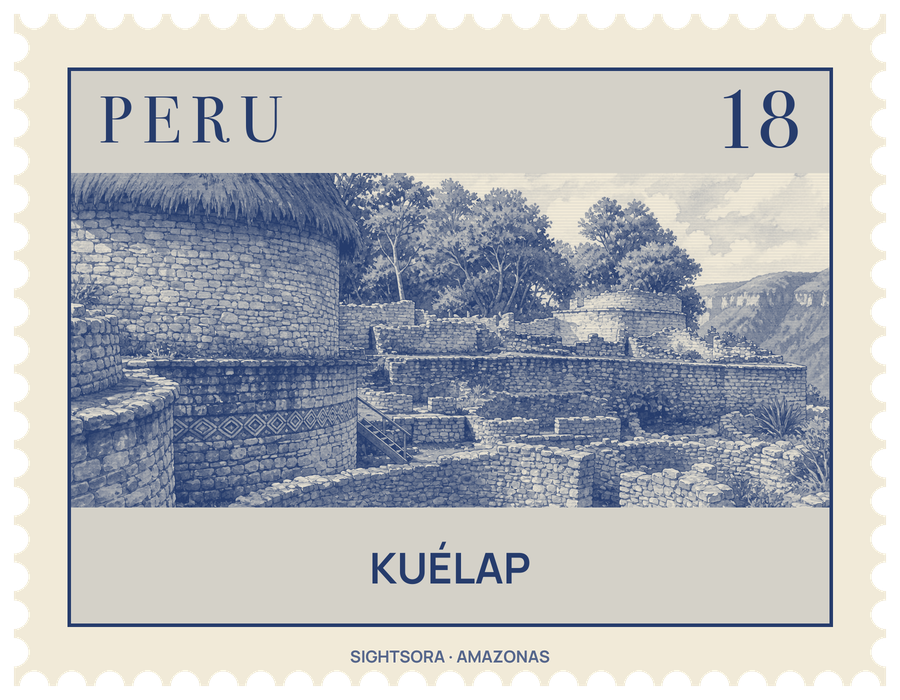
The Ministry of Culture calls this llaqta, or fortified settlement, the most important archaeological monument of north-eastern Peru and a symbol of the Amazonas region. Cloud forest with orchids and epiphytes covers the mountains around it.
Its walls of finely dressed limestone, with some blocks weighing as much as 3 tons, rise 10 to 20 m and enclose an area 584 m long from north to south and 110 m across at its widest. Three gateways lead in, two on the east side and one on the west; the main one is trapezoidal and tapers until only one person can pass at a time. Inside stand the remains of 421 buildings, all but five of them round. Only foundations and lower walls survive, some up to 2 metres high, and several carry rhomboid and zigzag friezes sheltered by cornices. Stones across the site are carved in relief with human, animal and geometric figures, and many burials have been found inside the walls and the round houses.
In the south-west stands El Tintero, also called the Templo Mayor, a 5.5-metre building shaped like an upside-down cone where ceremonial remains were found; it may have been used to observe the sun. In the north-west, the Pueblo Alto sector is entered through two narrow openings in a wall 11.5 metres high, and north of it the 7-metre Torreón may have served for defence, as stone weapons were found inside. Stone channels are believed to have brought water down to the town from a spring on the summit.
People lived on the ridge from the 5th century AD, but most of the buildings went up between 900 and 1100, and the town may have held some 3000 inhabitants. It was abandoned in 1570 in the wake of the Spanish Conquest and slowly disappeared under tree roots, until Juan Crisóstomo Nieto, a judge from Chachapoyas, came upon it in 1843. Antonio Raimondi surveyed it in 1870, and Peruvian and foreign archaeologists have been excavating there since the 1980s.
Getting there
The base for the climb is El Tingo, a town at around 1800 m near the Utcubamba. A cable car brings visitors to within 2 km of the fortress, and the rest of the way is covered on foot or on horseback. A dirt road, 37 km longer, is also passable, and a horse trail follows the left bank of the Tingo river up to Marcapampa, a small level upland close to the site.