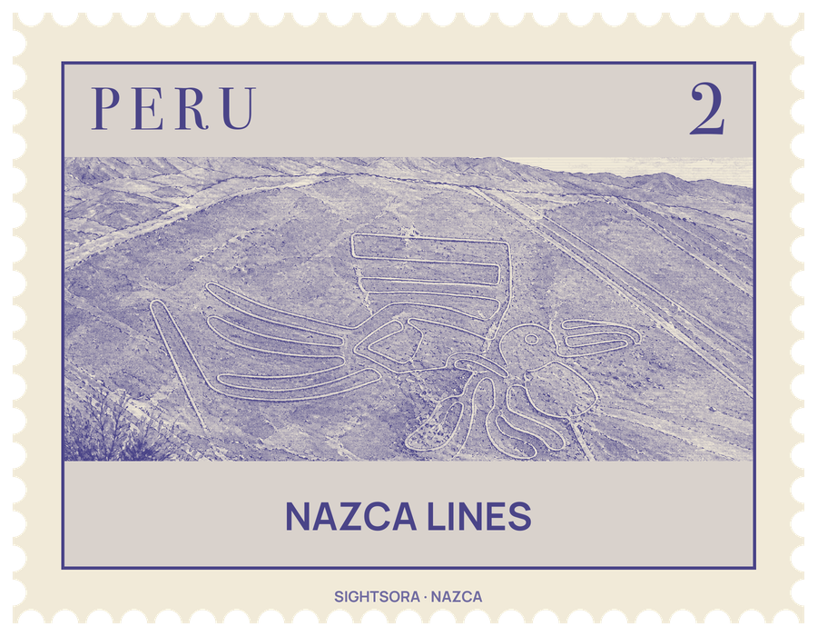
They were made before 500 AD, first by people of the Paracas culture and then by the Nazca, who cleared away the reddish-brown, iron-stained pebbles of the surface to expose the paler, yellow-grey ground beneath. UNESCO added them to the World Heritage List in 1994.
The trenches are shallow, usually 10 to 15 cm deep, and mostly a little over 33 cm wide, yet laid end to end the lines run for more than 1,300 kilometres. More than 70 figures show animals and people: among them a hummingbird 93 metres long, a condor of 134 metres, a monkey of 93 by 58 metres, a spider of 47 metres, a heron, a lizard, a dog and a human, along with trees and flowers. Most figures are drawn with a single unbroken line, and the biggest stretch to about 370 metres. Birds are the most common subject.
The drawings have lasted because the plateau is isolated, dry, windless and stable; the lime-rich subsoil also hardens with the morning mist into a crust that resists the wind. The designs are best seen from about 500 metres up, but the nearby foothills and other raised spots also give a view of them. New figures keep turning up: by 2022 the known total had reached 358, and in 2024 a team from Yamagata University working with IBM used artificial intelligence to identify 303 more, including parrots, cats and killer whales.
Why they were made is still argued over, though most scholars see a religious purpose. Paul Kosok, who first studied them in depth after flying over them in 1940–41, and the German mathematician Maria Reiche saw them as markers of where the sun and stars rose on key dates; the archaeologist Johan Reinhard linked them to the worship of mountains and water, reading the lines as sacred paths and the figures as appeals for water to grow crops. Wooden stakes at the ends of some lines suggest how they were laid out with simple surveying, and experiments have shown that a small team with simple tools could reproduce even the largest figures in days.
Getting there
The lines cover a high plateau between the towns of Nazca and Palpa, roughly 400 kilometres south of Lima, and the Panamericana Sur highway (PE-1S) runs alongside it. The densest group of figures, including the best-known geoglyphs, fills a rectangle of about 10 by 4 kilometres south of San Miguel de la Pascana, a small hamlet.