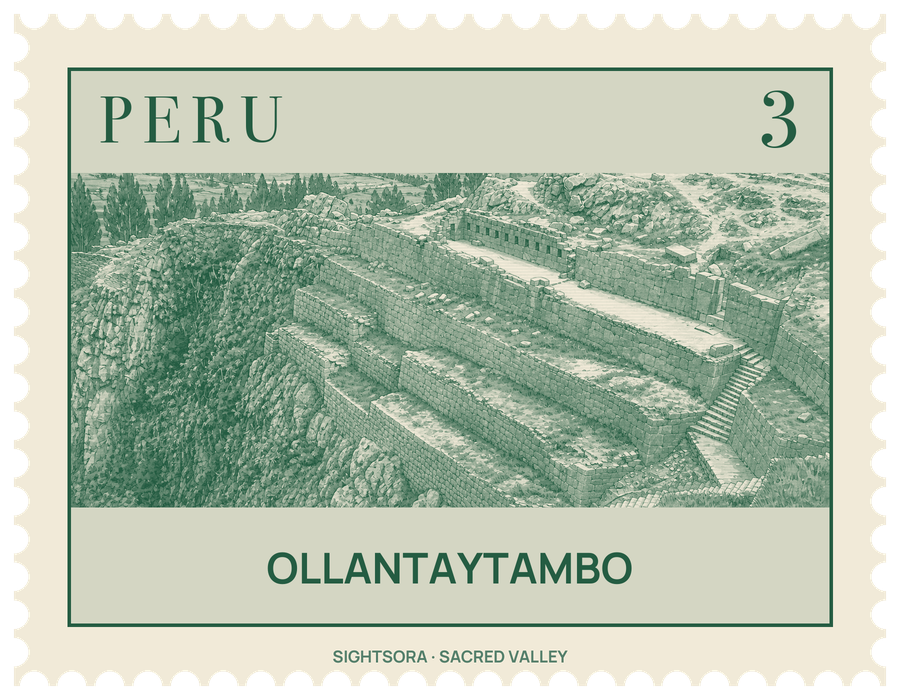
It sits at 2,792 metres where the Patakancha River meets the Willkanuta (Urubamba), some 72 kilometres by road northwest of Cusco, and lies on the way to a starting point of the Inca Trail. In the mid-15th century the emperor Pachacuti conquered and levelled an older town here, made the area part of his personal estate and rebuilt it with fine buildings, terraces and irrigation; the town lodged the Inca nobility while the emperor's retainers farmed the fields.
During the Spanish conquest it became a fortress and temporary capital for Manco Inca, leader of the Inca resistance. In 1537, on the plain of Mascabamba nearby, he beat back a Spanish expedition from Cusco by stopping its advance from tall terraces and letting water flood the plain, yet in the following year he withdrew to the forests of Vilcabamba. His defences along the valley approaches included the walled gate of T'iyupunku with its two narrow doorways.
The town on the left bank of the Patakancha keeps its Inca grid of four long streets crossed by seven parallel ones, and in its southern half each block is made of two kanchas, walled compounds of four single rooms around a courtyard. Across the river, the Araqhama quarter has the Manyaraki plaza, a church that shows it has been lived in since Inca times, and, to the north, shrines of carved rock and waterworks, among them the Baño de la Ñusta and the Templo de Agua.
Above Araqhama rises Cerro Bandolista, the Temple Hill, often called the Fortress although it was mainly religious. Stairways climb the Pumatallis terraces to the Temple sector of cut and fitted stone, with the Enclosure of the Ten Niches, the Platform of the Carved Seat and the unfinished Sun Temple with its Wall of the Six Monoliths. Blocks of rose rhyolite lie scattered around, and some were clearly pulled from finished walls, so building and rebuilding were still under way when the site was abandoned. The stone came from the Kachiqhata quarries, about 5 kilometres away across the Urubamba, and abandoned "tired stones" still mark the route of ramps and roads used to haul them.
Terraces of cut stone, built to a higher standard than ordinary Inca farm terraces, climb the valley sides. South of the Plaza de Armas, a sunken strip of terraces called Callejón runs about 700 metres to the river; its walls store the day's heat and keep it 2 to 3 °C warmer than the land above, enough to grow crops from lower altitudes. At its far end stands Q'ellu Raqay, a cluster of linked buildings and plazas thought to be a palace for Pachacuti, and on the surrounding slopes are stone storehouses whose height, wind and ventilation kept grain from rotting.