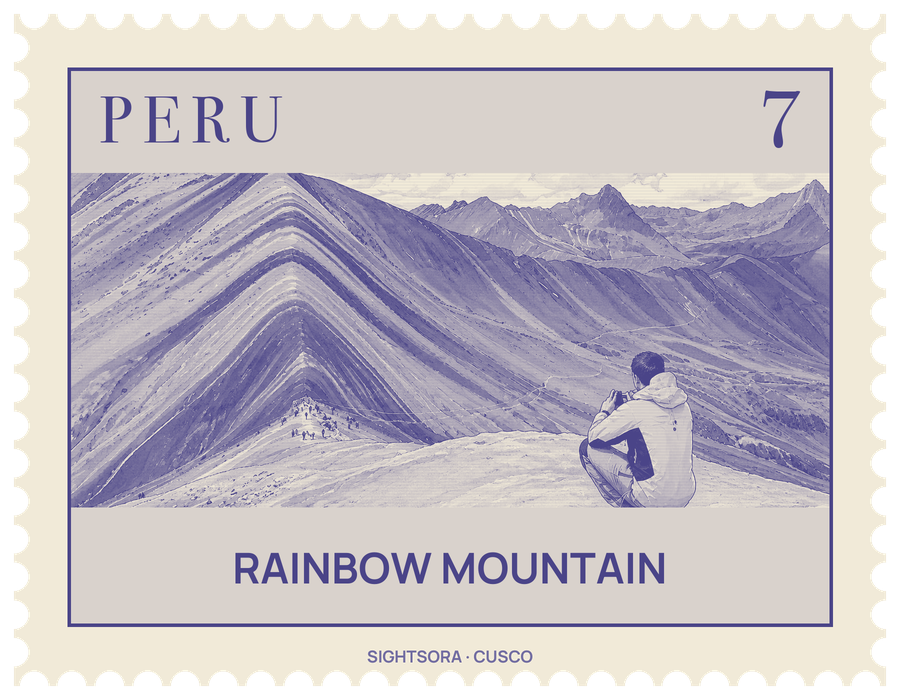
It stands at more than five thousand metres on the road to Ausangate mountain, on the border of the Cusipata and Pitumarca districts. Until 2013 it was capped by glacier ice; once that melted, the striped rock beneath drew mass tourism from the mid-2010s.
The colours come from the minerals in each layer. According to Cusco's Cultural Landscape Office, red clay, mud and sand give the pink; quartz-rich sandstone and marls with calcium carbonate give the whitish bands; iron-bearing claystones give the red; phyllites and clays rich in iron and magnesium give the green; a magnesium-bearing fanglomerate gives the earthy brown; and calcareous sandstones with sulphurous minerals give the mustard yellow.
The mountain nearly became a mine. In 2018 a metallic mining concession covering 400 hectares, the whole mountain and the lands of the Chillihuani and Pampachiri peasant communities, was granted; after public protests the company renounced it that May, a moratorium on mining followed, and in 2019 Ausangate was established as a Regional Conservation Area. At this altitude, time to acclimatise beforehand may be needed to avoid altitude sickness.
Getting there
There are two approaches from Cusco. One follows the PE-3s highway towards Checacupe and on to the town of Pitumarca, about two hours away; from there a track passes the villages of Ocefina, Japura and Hanchipacha on its way to Pampa Chiri, where a 1.5-kilometre walk over the Vinicunca pass reaches the mountain. The other starts from Cusipata, with a 3-kilometre walk along a bridle path on the Chillihuani route.