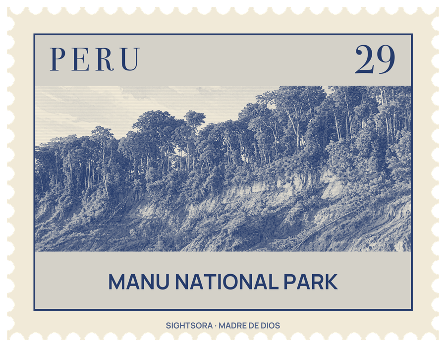
It covers 1,716,295 hectares of mountains, creeks, valleys and plains. Set up by decree on 29 May 1973, it was recognised by UNESCO as a Biosphere Reserve in 1977 and as a World Heritage Site in 1987, and it was enlarged to its present size in 2002.
The park is managed in zones. The restricted zone, with untouched forest and native communities, is open to researchers only; the reserved zone is set aside for recreation and research; the recuperation zone lets damaged land recover; and the cultural zone, where people live, is where most activities, nature tourism among them, take place. Native peoples within the park include the Yora, Mashco-Piro, Matsiguenka, Harakmbut and Yine, along with groups living in voluntary isolation. A single route, the 190-kilometre Manu road, connects the park's upland country with the lowland plains where the Manu River ends.
Five areas are open to tourists, where wildlife can be watched from paths, swamps, oxbow lakes and riverbanks. In the lower basin of the Manu River there are five camping sites, four viewpoints, one of them an 18-metre tower, three lodges and a canopy walkway. Rainfall depends on altitude, from the less rainy mountainous south to the very wet north-west, and the average temperature is far warmer in the lowland forest than in the Andean zone.
The range of altitudes produces a great variety of life. Botanists have identified 4385 plant species, with as many as 250 kinds of tree in a single hectare. About 160 mammal species have been reported, among them the jaguar, giant otter, Peruvian spider monkey, South American tapir and brown-throated sloth in the lowlands, and the spectacled bear and Andean fox in the mountains. More than 1000 bird species are thought to live here, from scarlet and blue-and-yellow macaws and the harpy eagle in the rainforest to the Andean condor, torrent duck and Andean cock-of-the-rock higher up. The lists also take in 155 amphibians, 132 reptiles such as the black caiman and green anaconda, 210 fish and more than 1300 butterflies.