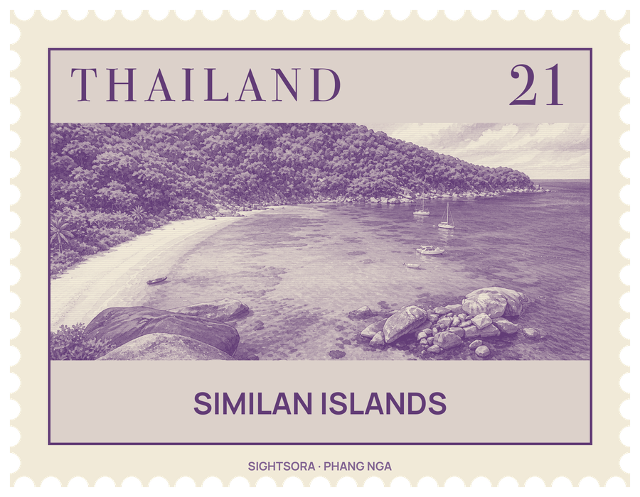
The park was declared after a year-long survey by the forestry department and covers some 140 square kilometres, of which only about 26 are land. The name comes from a Yawi word for "nine", though the park today takes in 11 islands; Ko Bon and Ko Tachai were added in 1998.
To keep things simple, the Department of National Parks numbers the islands, and visitors will hear them called by number as often as by name: from Island 10, Ko Bon, in the north, down through Ko Ba-ngu (9), Ko Payu (6) and Ko Miang (4), where the park headquarters stands, to Ko Payan, Ko Payang and Ko Huyong (1) in the south. Ko Similan is the biggest of them. Ko Huyong has the longest, widest beach in the park, and it is a nesting beach for sea turtles.
Much of the draw lies under the water. Around Ko Similan the sea averages about 60 feet deep, and the seabed is a jumble of rock formations and coral reefs grown into shapes that recall deer, leaves, brains and mushrooms. Diving boats that stay out for several days set out from Phuket, Ranong, Ko Lanta and Tab Lamu. Fish reported in the area include barracuda, batfish, triggerfish, trevallies and golden pilot jacks.
On land, the islands are home to Nicobar pigeons, mangrove monitor lizards and flying foxes. BirdLife International has named the archipelago an Important Bird Area because it holds a population of the vulnerable pale-capped pigeon. The islands took heavy damage in the 2004 Indian Ocean tsunami, when divers underwater were suddenly caught in a violent swirling current.
Getting there
Boats to the islands leave mainly from Tab Lamu Port, a small fishing village just south of Khao Lak and about 13 kilometres from Bang La On, where the park headquarters on the mainland is also based. The crossing takes around three hours on an ordinary boat and roughly 70 minutes by speedboat.