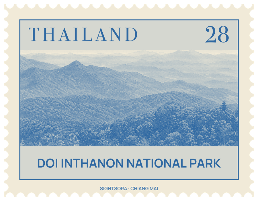
The park lies about 60 kilometres from Chiang Mai and covers some 482 square kilometres, with ground climbing from 800 metres to the summit. A Royal Gazette proclamation of 2 October 1972 made it the 6th national park in the country, and its area was later changed in 1978 and again in 2009.
Several waterfalls lie within the park, among them the Mae Ya, Siriphum, Wachiratan and Mae Klang falls. The mountain sits in an important part of the watershed of the Ping River, and streams such as the Mae Wang, Mae Klang, Mae Chaem and Mae Hoi gather here and water settlements across the province before joining the Ping. Karen and Hmong villages with around 4,500 people lie within the park.
Because the land spans such a range of heights, the vegetation changes with altitude, from deciduous dipterocarp forest lower down to evergreen cloud forest and sphagnum bog near the top, with a few relict pines. The park counts 383 bird species, among them the green-tailed sunbird.