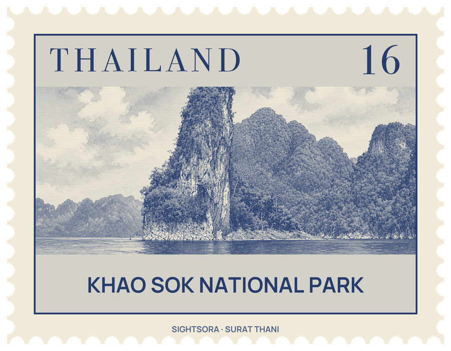
A limestone range runs through the park from north to south, peaking at 950 metres, and monsoon rains blow in on it from the Andaman Sea as well as the Gulf of Thailand, making it one of Thailand's wettest areas. Rain and falling leaves have worn the limestone into the steep karst towers the region is known for.
The forest is dense with bamboo, lianas wrapped around tall trees, and trees with broad buttress roots, and wild jackfruit, mangosteen, durian, rambutan and wild bananas feed the animals. The park is best known for the bua phut flower, Rafflesia kerrii, and is one of only two known places for the endangered palm Kerriodoxa elegans. Mammals here include the Malayan tapir, Asian elephant, gaur, banteng, serow, sambar deer, gibbons and macaques, and the lake waters are the last natural home in Thailand of the endangered Asian arowana.
People settled the area in the 1800s, when villagers fleeing the Burmese army during the Burmese-Siamese War of 1809–1812 found its good soil and plentiful wildlife; an epidemic in 1944 drove the survivors out to Takua Pa. In the 1970s student activists and communist insurgents took shelter in its caves, and for seven years their presence kept out loggers, miners and hunters. The national park was declared in 1980, and two years later the Electricity Generating Authority of Thailand completed the 94-metre Ratchaprapha Dam on the Klong Saeng River, flooding the valley to create the lake.
Marked trails from the park's west entrance lead into the forest, where monkeys, tropical birds and insects are often seen, and local guides can be hired for treks and for canoeing and bamboo rafting on the Sok River. Boat trips on Cheow Lan Lake pass among limestone cliffs above turquoise water to caves including Nam Talu Cave, about 12 kilometres from the park headquarters, Diamond Cave and Khang Cow Cave.