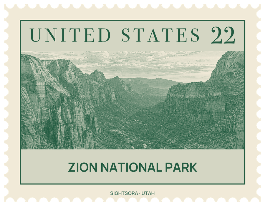
It is the centrepiece of Zion National Park, a 229-square-mile park beside the town of Springdale at the meeting point of three regions: the Mojave Desert, the Great Basin and the Colorado Plateau. This mix gives the park four life zones, from desert to coniferous forest, and room for 289 bird species and 19 species of bat. Elevations run from 3,666 ft at Coalpits Wash to 8,726 ft on Horse Ranch Mountain.
People have lived here for about 8,000 years, from Archaic hunting groups to Basketmaker Ancestral Puebloans, the Parowan Fremont and later the Southern Paiute. Mormon farmers reached the Virgin River region in 1847, and Isaac Behunin, who farmed the canyon floor from 1863, is credited with the name Zion, after the biblical place of peace. In 1909 President William Howard Taft protected the canyon as Mukuntuweap National Monument, a name John Wesley Powell had given it in 1872; it was renamed and became Zion National Park on November 19, 1919, and the Kolob Canyons were joined to it in 1956. About 85% of the park is now protected as the Zion Wilderness.
The cliffs are a layered history. Nine exposed formations, part of the sequence known as the Grand Staircase, hold about 150 million years of shallow seas, rivers and lakes and a vast desert of dunes that hardened into the Navajo Sandstone. The region was then lifted more than 10,000 feet, and the faster rivers followed the joints in the rock to saw down through it. The Virgin River still deepens its canyon faster than its side streams can keep up, so those streams drop in from hanging valleys as waterfalls, especially after storms.
A 6-mile (9.7 km) road runs up Zion Canyon past Zion Lodge, built in 1925 to a rustic design by Gilbert Stanley Underwood, and past landmarks such as the Court of the Patriarchs, The Great White Throne, Angels Landing, Weeping Rock and the Emerald Pools. It ends at the Temple of Sinawava, named for the Paiute coyote god, where a footpath goes on to the entrance of The Narrows, where the walls rise up to 2,000 feet and close in to just 20 feet (6 m) apart. Seven trails start in the canyon, from a half-hour walk at Weeping Rock to about four hours for Angels Landing.
The rest of the park is quieter. The Zion – Mount Carmel Highway, opened in 1930, climbs east through a 1.1-mile (1.8 km) tunnel with six large windows cut through the cliff, to Checkerboard Mesa and The East Temple. To the northwest, the Kolob Terrace holds the slot canyon called The Subway and a view over the whole area from Lava Point, while the Kolob Canyons section near Cedar City has Tucupit Point, the Taylor Creek trail and the long walk to Kolob Arch. Backpackers can cross the park on the Zion Traverse, a network of trails totalling 50 miles from Lee Pass to the East Rim, and the canyon walls are a centre for rock climbing.
Weather shapes a visit. Summer days are hot, reaching 95 to 110 °F, and afternoon thunderstorms from mid-July through mid-September can bring sudden waterfalls and dangerous flash floods; in 2015 a flood in a slot canyon killed a party of seven. Spring is changeable, with wildflowers peaking in May, autumn days are usually clear and mild, and the canyon's autumn colours are at their best in late October. Winter in the canyon is fairly mild, though storms bring heavier snow higher up and can make roads icy. Zion Lodge offers rooms inside the park, Springdale has more, and the South and Watchman campgrounds lie at the park's southern end.
Getting there
The main entrance is next to Springdale. For much of the year the Zion Canyon Scenic Drive is closed to private cars and visitors ride the park's shuttle buses; in the remaining months private vehicles may use it. The east side is reached by the Zion – Mount Carmel Highway (SR-9) from US 89 at Mount Carmel Junction, and the Kolob Canyons section from Interstate 15, exit 40.