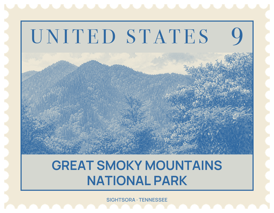
Its 522,419 acres climb from about 875 feet to 6,643 feet on the summit of Kuwohi, the park's highest peak, and forest covers some 95 percent of the land. Congress established the park on June 15, 1934, and Franklin D. Roosevelt dedicated it in 1940; UNESCO inscribed it as a World Heritage Site in 1983.
Unlike the great western parks, carved mostly out of land the government already owned, this one had to be bought piece by piece. Local campaigners, the two state legislatures and private donors raised the money, with a large gift from John D. Rockefeller Jr. in March 1928 as the turning point, and thousands of small farms, logging operations and whole communities were bought out and their people moved away. Some of what they left behind has been kept: log cabins, barns, churches and mills survive in Cades Cove, Roaring Fork, Cataloochee, Elkmont and Oconaluftee, where the Mountain Farm Museum stands near Mingus Mill.
Cades Cove, a broad, open valley floor ringed by mountains, is the most visited corner of the park; an 11-mile one-way loop road circles it, and visitors drive or cycle around it past the old farm buildings. Newfound Gap Road, US 441, crosses the park between Gatlinburg and Cherokee, passing trailheads and overlooks on the way up to Newfound Gap at 5,048 feet, the lowest pass in the crest, where Roosevelt made his dedication at the Rockefeller Memorial. From a parking area near the top of Kuwohi, a half-mile trail climbs to a 45-foot observation tower with a view in every direction over the mountains of Tennessee, North Carolina and Georgia, though haze often shortens it.
Trails and unpaved roads open to hikers add up to 850 miles, among them 71.6 miles of the Appalachian Trail, which follows the state line along the crest and seldom drops below 5,000 feet. Mount Le Conte can be climbed by five trails, the busiest being the Alum Cave Trail past Alum Cave Bluffs and Arch Rock, and near its summit LeConte Lodge, reached only on foot, rents cabins and rooms. More than 100 prominent waterfalls are spread through the park, from Ramsey Cascades at the foot of Mount Guyot to Rainbow Falls on LeConte Creek, Grotto Falls, Laurel Falls and Abrams Falls.
Lower slopes are clothed in deciduous forest that gives way higher up to conifers such as Fraser fir, and old-growth stands make up perhaps a fifth to a quarter of the woodland, with many trees older than European settlement. The American black bear has become the emblem of the park's wildlife, with about 1,900 living here, alongside white-tailed deer, bobcats and more than 240 kinds of birds. Fly fishing for trout is a favourite pastime, and in the Elkmont area visitors gather to watch synchronous fireflies, a species whose members flash their lights in unison.
Getting there
The park has three main entrances, at Gatlinburg and Townsend in Tennessee and at Cherokee in North Carolina. The Gatlinburg entrance is the busiest; it sits at the southern end of the Great Smoky Mountains Parkway, which comes down from Interstate 40 by way of Sevierville and Pigeon Forge. US 441 links the Gatlinburg and Cherokee entrances across the park, and the Blue Ridge Parkway ends at the park's edge in Cherokee.