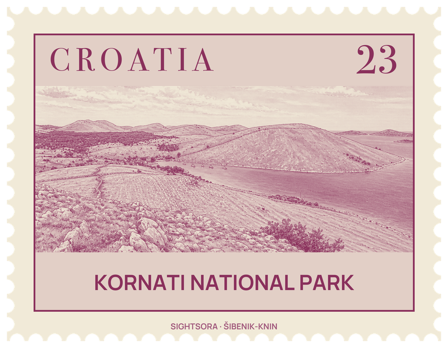
In 1980 the southern part of the archipelago, most of its 140-odd islands together with the sea around them, was declared a national park, Nacionalni Park Kornati. The name comes from Kornat, the largest island: 25.2 kilometres long but never wider than 2.5 km, it makes up two-thirds of the park's land.
The landscape is karst. About 85% of the land is stony and only 5% has ever been cultivated; the porous rock drains fast, so the islands are dry and people and animals depend on cisterns. Erosion has left cliffs, caves, flat rock pavements and oddly weathered shapes, and fossils of fish and crustaceans can be found in the stone. The vegetation is a thin maquis of tough grass and scented herbs such as sage, and olive trees take up most of the little farmland. The islands were probably once wooded with holm oak, but the forests were cut for fuel, and centuries of grazing and burning stripped them further.
Nobody lives on the Kornati all year. The land belongs mostly to families from the islands of Murter and Dugi Otok, who bought it in the late 19th century and use simple stone houses in sheltered coves such as Vrulje, Kravjačica and Lavsa as seasonal shelters. People were here much earlier: remains of Illyrian settlements have been found on Kornat, mosaic floors survive from Roman villas, and the small tower called Toreta on Kornat probably dates from the 6th century AD. Piškera was inhabited in the Middle Ages as a fish store, and during the long Venetian period the islands served to resupply the Venetian fleet.
The park protects the sea as much as the land, and fishing is tightly limited so that over-fished stocks can recover. Beneath the surface the channels and underwater relief support algae, coral and sponges, and the rare mollusc Pinna nobilis, protected by law, lives here. Places worth seeking out include the shallow channel of Mala Proversa, Lavsa Bay, the oval island of Taljurič, Špinuta and Stivina bays, and Piškera and Mana islands. Some islands carry deliberately rude names: the story goes that the local guides who accompanied Austrian surveyors in the late 19th century invented vulgar names to mock them, and the names stuck.
Getting there
Park administration is based in Murter, a town on the island of that name; a drawbridge at Tisno connects the island to the mainland.