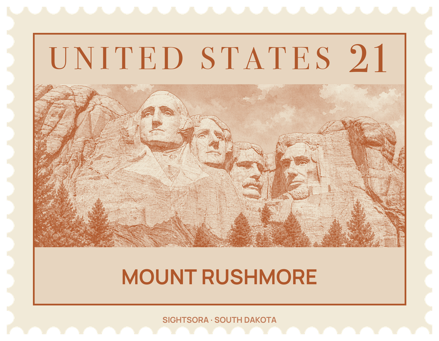
The faces are those of Washington, Jefferson, Theodore Roosevelt and Lincoln, picked to stand for the founding, expansion, development and preservation of the nation. The sculptor Gutzon Borglum, who called the work the Shrine of Democracy, directed the carving from 1927 to 1941, assisted by his son Lincoln Borglum. The national memorial around it covers 1,278 acres and is surrounded on every side by Black Hills National Forest.
The project began with Doane Robinson, South Dakota's state historian, who wanted a large monument to draw travellers to the Black Hills and first pictured Western figures like Lewis and Clark, the Oglala Lakota chief Red Cloud and Crazy Horse. Borglum argued for a national rather than a regional theme and settled on the four presidents. He picked this peak partly because it faces southeast and gets sunshine for most of the day, and because its fine-grained granite wears away very slowly. Roughly 400 workers removed about 450,000 short tons of rock with dynamite and then with "honeycombing", drilling rows of close holes so that pieces could be broken off by hand, and no one died on the job. Jefferson was first begun on Washington's other side; when that rock proved unsound, the figure was blasted away and carved again to the right. The heads were meant to continue down to the waist, but money ran out, and carving stopped on October 31, 1941, a few months after Gutzon Borglum's death, with only Washington showing any detail below the chin.
The mountain stands on land that matters deeply to the Lakota, who know the Black Hills as Pahá Sápa and the peak as Tȟuŋkášila Šákpe Pahá, Six Grandfathers Mountain, after the knobs along its summit ridge. The Treaty of Fort Laramie of 1868 recognised the Black Hills as Lakota territory, but the United States took the area after the Great Sioux War of 1876. In 1980 the Supreme Court ruled that the Sioux had not been justly compensated; the tribe has refused the award and asks for the land itself. The name Mount Rushmore comes from Charles E. Rushmore, a New York lawyer who visited the area on mining business in 1884 and 1885. Visitors should also know that historians have documented Borglum's antisemitic and nativist views and his close involvement with the Ku Klux Klan while he worked on the Confederate memorial at Stone Mountain, Georgia.
A visit is laid out to face the carving. The Avenue of Flags, a broad walkway added for the 1976 Bicentennial and lined with flags for all 50 states, plus those of the District of Columbia, the territories and the commonwealths, leads from the main parking area to the Grand View Terrace. Beneath the terrace, the Lincoln Borglum Visitor Center holds a museum on the presidents and on how the sculpture was made, and an amphitheater below it is used for ranger talks and the evening program. The Presidential Trail, a 0.6-mile (1 km) loop from the visitor center, runs to the foot of the talus slope for close views of the faces and passes the Sculptor's Studio of 1939, where Borglum's plaster models and tools are on show; the route includes long flights of stairs.
Several features hint at what Borglum left undone. Behind Lincoln's head is the entrance to the Hall of Records, a vault meant to hold the Declaration of Independence and the Constitution; the crew had driven about 70 feet (21 m) into the mountain when work halted in 1939. In 1998 a time capsule with 16 enamel panels about the memorial and the texts Borglum wanted kept was placed in its mouth, but the area is closed to the public. The lighter streaks across the presidents' foreheads are pegmatite dikes in the granite, and darker schist can be seen just below Washington. Mountain goats, descended from a herd that escaped from Custer State Park, are often seen in the park.
Beyond the main complex, the Profile View along South Dakota Highway 244 to the west shows the faces side-on, and Route 16A, the Iron Mountain Road, gives more distant views at stops including Norbeck Overlook and the Doane Robinson Tunnel. The Blackberry Trail leads south into the Black Elk Wilderness and joins the Centennial Trail, and a trail from the Wrinkled Rock trailhead climbs Old Baldy Mountain, though only the back of Mount Rushmore is visible from its summit.
Getting there
Keystone is the nearest town, roughly 2 mi (3 km) away to the northeast. South Dakota Highway 244, which leaves Route 16A near the park's eastern entrance, is the main road through it, and the main parking area sits at the head of the Avenue of Flags.