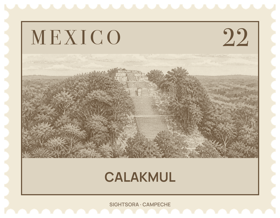
During much of the Classic period it was the seat of the Kaan or Snake Kingdom, whose snake-head emblem glyph is spread across a vast territory, and at its Late Classic height the city is thought to have had around 50,000 inhabitants and ruled a state of some 13,000 square kilometres. The name is modern: Cyrus Lundell, who spotted the site from the air in 1931, took it to mean "city of the two adjacent pyramids". The Maya themselves called the centre Ox Te' Tuun, "three stones".
The city's story is dominated by its rivalry with Tikal to the south, a contest often likened to one between two Maya superpowers. Calakmul built a ring of allies around its rival, and in 562 its king, known as Sky Witness, defeated Tikal, opening more than a century of Calakmul dominance. Its greatest ruler, Yuknoom Che'en II, took the throne in 636 at the age of 36 and is probably responsible for the palace complexes of the city centre. In 695 Tikal turned the tables in a decisive battle, and over the following decades Calakmul's alliances fell apart; by the 9th century political authority had collapsed, although an elite presence lingered until around AD 900.
The centre of the site covers roughly 2 square kilometres and the wider city more than 20, with thousands of mapped structures. Structure 2, a huge north-facing pyramid with a base 120 metres square, rises over 45 metres; it grew in stages around a Late Preclassic triadic pyramid that still forms its summit, and its front once carried six great masks between three stairways. Four tombs have been found inside, among them Tomb 4, believed to be that of the king Yuknoom Yich'aak K'ak', who was buried wrapped in jaguar pelts with a jade mosaic mask. Structure 1, at 50 metres, stands on a low hill to the east and looks taller than Structure 2 though it is not. Structures 1, 2 and 7 all rise above the treetops, and from the summit of Structure 1 two ancient causeways can be seen running away through the forest.
Around the Central Plaza, the temples of Structure 4 and Structure 6 opposite form an E-Group, an arrangement used to mark the solstices and equinoxes; in 1989 observers confirmed that at the March equinox an observer on Structure 6 sees the sun come up behind Structure 4b. Structure 7, a 24-metre temple pyramid on the north side, has a patolli game board carved into the floor of its outer room. The city counts 117 stelae, most set in pairs showing a ruler and his wife, but the soft local limestone has worn most of them smooth; Stela 51, showing Yuknoom Took' K'awiil in 731, is the best preserved.
The city sits on a natural limestone dome about 35 metres above El Laberinto, a seasonal swamp to the west that supplied water and flint. Canals and thirteen reservoirs, with a combined capacity estimated at over 200,000,000 litres, kept the city supplied; the biggest, Aguada 1, covers 5 hectares. Eight sacbe causeways have been located, linking Calakmul with nearby satellites and with distant cities such as El Mirador, about 38 kilometres to the southwest across the swamp.
Getting there
A station on the Tren Maya railway serves Calakmul.