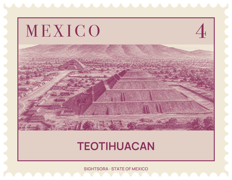
At its height, in the centuries before about 500 AD, it was the largest city in Mesoamerica, home to tens of thousands of people and the seat of a society whose politics, trade and religion left a lasting mark on the peoples of the central highlands. It has been on the UNESCO World Heritage list since 1987, and the archaeological zone is managed by the federal institute INAH.
The name is Nahuatl and was used by the Aztecs, who found the city already in ruins centuries after its fall; it is usually glossed as the place where the gods were made, reflecting their belief that the universe was created here. What its own inhabitants called it is unknown. The city grew from scattered villages after about 100 BC, its major monuments were raised by about 250 AD, and around 550 AD the buildings along its main avenue were sacked and burned, probably in an internal uprising; drought and famine may also have played a part. Teotihuacan was not an Aztec city, though the Aztecs claimed a shared ancestry with its people and made it a place of pilgrimage.
The Avenue of the Dead, named by the Aztecs, who took the low platforms lining it for tombs, is the spine of the site. The Pyramid of the Sun rises on its east side, 65 metres high on a base of 219.4 by 231.6 metres, and was completed by 100 AD; it is aligned with Cerro Gordo to the north and with sunrises and sunsets on dates that mark out the 260-day ritual calendar. In 1971 workers found a man-made tunnel and caves beneath it. At the avenue's northern end stands the Pyramid of the Moon, flanked by lower platforms, and between the two main pyramids is the Palace of Quetzalpapálotl.
At the southern end lies the Ciudadela, which the Spanish named the Citadel in the belief that it was a fort: a vast enclosed plaza that formed the religious and political heart of the city. Its central feature is the Temple of the Feathered Serpent, the feathered-serpent god, whose stairway is flanked by sculptures showing him in his contrasting aspects of war and fertility. In 2003 a sinkhole opened near its base and revealed a tunnel sealed nearly 2,000 years ago; excavation led to chambers holding greenstone statues, masks inlaid with jade, pyrite-coated spheres and, 17 metres down, a miniature landscape with pools of liquid mercury, the walls dusted with glittering minerals to evoke the underworld.
Away from the monuments, most people lived in multi-family apartment compounds, many with workshops; the wealthier ones were painted with murals of richly dressed priests, jaguars and a storm god. Working obsidian was the city's main industry, and its tools were traded as far as Tikal and Monte Alban. Neighbourhoods such as Tlailotlacan, settled by migrants from Oaxaca, and the Merchants' Barrio, with round adobe buildings and pottery from the Gulf Coast, show how many peoples lived here. INAH runs a mural painting museum at the site.
Getting there
By road from Mexico City, the usual route leaves along Avenida Insurgentes Norte onto the México-Pachuca highway, then joins the Ecatepec-Pirámides highway to the site. It can also be reached from the México-Tuxpan and Arco Norte highways, or along the non-toll México-Teotihuacan road.