The Maya name points to the mouth of a well belonging to the Itzá, a lineage group that came to dominate the northern peninsula. The city rose to regional prominence around 600 AD, and between 900 and 1050 AD it grew into a powerful capital controlling north and central Yucatán, trading by sea through its port at Isla Cerritos. It had declined as a regional centre by 1100. The ruins are federal property, in the care of INAH, the national institute of anthropology and history, and the site is on the UNESCO World Heritage list.
The site core covers at least 5 square kilometres of ground that was levelled by hand for the main building groups, linked by more than 80 paved causeways called sacbeob. Many of the stone buildings were once painted red, green, blue and purple, so the grey city seen today is only part of the picture. The architecture mixes local Puuc and Chenes styles with forms that recall central Mexico, now usually read as a sign of cultural exchange rather than conquest. The best-known complexes are the Great North Platform, the Osario Group and the Central Group.
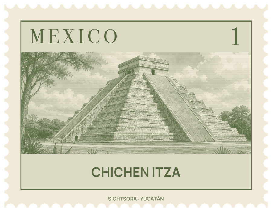
The pyramid, which the first Spaniards called El Castillo, has a stairway on each of its four faces and carved serpent heads at the foot of the northeastern balustrade. Excavations in the 1930s found an older temple buried inside it, holding a Chac Mool and a red jaguar throne spotted with jade. Around the spring and autumn equinoxes, late-afternoon light throws a chain of triangular shadows on the northern stairway that looks like a serpent sliding down. About 150 metres to the north-west lies the Great Ball Court, 168 by 70 metres, with carved stone rings set high in its 8-metre walls and relief panels of ball players along its benches, one showing a decapitated player whose blood flows out as snakes. The Temples of the Jaguar are built into its east wall, and nearby stand the Skull Platform and a four-stairway platform whose panels show eagles and jaguars eating human hearts.
East of the pyramid, the Temple of the Warriors is a stepped pyramid fronted by rows of columns carved with warriors, with a Chac Mool at the top of its stairway; it closely resembles Temple B at Tula, the Toltec capital. Its colonnades continue into the Group of a Thousand Columns. A white causeway 270 metres long runs north to the Cenote Sagrado, a natural sinkhole 60 metres across with sheer walls dropping about 27 metres to the water. It was a place of pilgrimage, and Edward Herbert Thompson dredged it between 1904 and 1910, bringing up gold, carved jade, pottery and human remains; whether those remains point to sacrifice is still debated.
To the south, the Osario is a smaller pyramid with a shaft leading down to a natural cave, and the Temple of Xtoloc overlooks the city's other large cenote. In the Central Group, El Caracol, "the snail", is a round building on a square platform named for the spiral staircase inside; its doors and windows are thought to follow the path of Venus. Las Monjas, which the Spanish took for a nunnery, was a government palace in the Puuc style, and Akab Dzib, "dark writing", is named for the carved glyphs over one of its doorways. The Casa Colorada keeps hieroglyphs with a date equivalent to 869 AD.
About 4 kilometres south-east of the site are the Balankanche caves, where INAH returned the ancient pottery and idols found there to the spots where they were left, so they can be seen in place. The Great Museum of Chichen Itza, opened on 28 February 2024 in Tinum, holds more than 1,000 pieces arranged in 14 themes, including a room recreating the Sacred Cenote and sculptures of Chac Mool.
Getting there
The Great Museum of Chichen Itza is part of the visitor centre and can be reached by travellers arriving at the Chichén Itzá station of the Tren Maya.