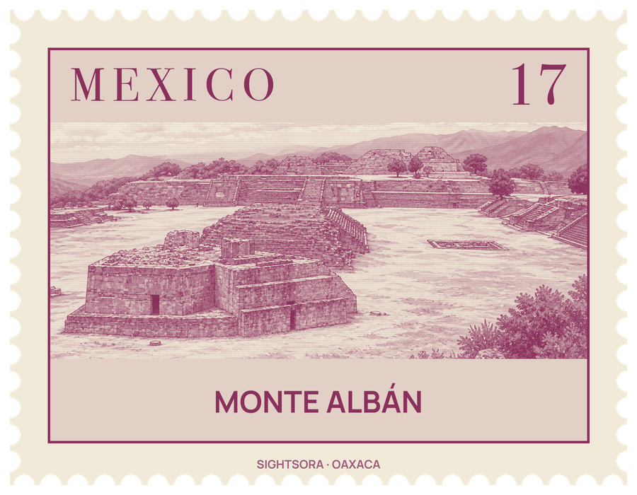
The ruins can be seen from almost anywhere in the central valley. Founded around 500 BC on empty land between rival chiefdoms, the city was the leading Zapotec political and economic centre for nearly a thousand years, and between about 100 BC and AD 200 it ruled a state that reached across much of the Oaxacan highlands and dealt with distant powers such as Teotihuacan. Its influence faded in the Late Classic, and by around AD 900–1000 the old capital stood largely empty. Nobody knows what the Zapotecs called it.
The heart of the site is the Main Plaza, about 300 by 150 metres, levelled out of the mountaintop and once finished in white plaster, large enough to gather the whole city for state rituals. Big platforms with monumental stairways close it to the north and south, while smaller mounds carrying temples, elite houses and a ballcourt line the east and west sides; a row of mounds runs down the middle. Most temples face east or west, following the path of the sun, with a porch at the front and a more enclosed sanctuary behind. The plaza looks rectangular but is not, and the earliest buildings on its west side are turned slightly away from the later ones, which follow the cardinal points more closely.
Near Building L stand the Danzantes, "dancers", the oldest carved stones at the site. Despite the name given to them in the 19th century, they show naked men in twisted, contorted poses and are now read as tortured and sacrificed war captives, some of them identified by name, perhaps leaders of rival towns. More than 300 have been recorded, and some of the best preserved are shown in the small site museum, which mostly displays original carved stones from Monte Albán.
Building J, in the centre of the plaza, stands out for its arrow-like outline and for being set at an angle to everything around it. Its steps line up at right angles to the rising point of the star Capella, whose first dawn appearance came within a day of the sun passing straight overhead. More than 40 large carved slabs are set into its walls, showing place-names, often with upside-down heads; Alfonso Caso identified them as "conquest slabs" listing places the rulers of Monte Albán claimed to control. Caso led the large excavations that began in 1931, and much of what visitors see today was rebuilt by his team.
Beyond the plaza, several hundred artificial terraces and around a dozen groups of mounds cover the ridge and its slopes; ordinary people lived on these terraces in small adobe houses around a patio, while elite homes had three or four rooms around a courtyard with a tomb beneath, sometimes painted with murals. Archaeologists have long treated the remains on two hills just to the north, Atzompa and El Gallo, as belonging to the same city. Many finds from the site went to Mexico City's Museo Nacional de Antropologia and to the Museo Regional de Oaxaca, which occupies the Santo Domingo de Guzmán church in Oaxaca City and holds much of the treasure found by Caso in 1932 in Tomb 7, a Zapotec tomb later reused for Mixtec burials.